The good news is that we're expecting light variable winds under a weak pressure gradient. The even better news is that there's a stack of more swell on the way.
Primary tabs
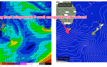
A mid-latitude low slips East of Tasmania overnight and deepens rapidly as it merges with an incoming frontal system. The front brings a strong NW tending W’ly flow through Sat which will herald the start of a major S swell episode, favouring NENSW for size.
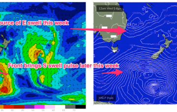
The big ticket item presently is the complex trough of low pressure off the Mid North Coast. Current ASCAT (satellite windspeed) passes show a proximate fetch of strong winds with embedded low end E’ly quarter gales aimed directly at the Mid North Coast.
This will direct an E’ly fetch across a wide swathe of the Eastern seaboard from the sub-tropics down to the Sydney region. A small closed low forming in the trough then slowly retracts eastwards as we head into the Easter weekend. Winds are going to be a bit tricky but we’ll have plenty of E/SE-SE swell to play with this week as this fetch forms up.
Eyes back to the E next week. The high in the Tasman and a blocking band of high pressure well to the south of the continent effectively annuls the southern swell window. With that shut down we’ll be looking to the East.
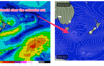
Still a complex, troughy pattern in play with a slow moving trough of low pressure drifting south off the Gippsland coast towards waters East of Tasmania. A front sweeping in behind the trough is bringing a clearing W’ly flow through temperate NSW today, reaching the sub-tropics tomorrow.
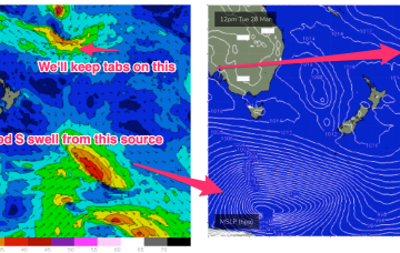
A small trough of low pressure off the Gippsland coast is replaced by another trough system later in the week. Far to the south of this hot, soupy mess a series of stronger polar lows are traversing the Far Southern Ocean sending small long period S swell trains our way.
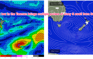
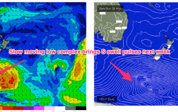
Long period S swells will be the dominant swell trains next week (for NENSW) as a complex deep low traverses the far southern Tasman Sea and becomes slow moving in New Zealand longitudes.
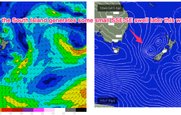
In the Coral Sea a monsoon trough remains active with a persistent but unspectacular trade-wind flow maintaining a small fun E swell signal north from Port Macquarie. The remnants of a low near the South Island are now dissipating after a final flare up yesterday.
Compared to Fridays notes the front/low in the Southern Tasman is a stronger system while the tradewind pattern is weaker and more disjointed. That will see S quadrant swells dominate through most of the week through temperate-sub-tropical NSW, with a smaller tradewind swell signal north of the border being the dominant swell train.

