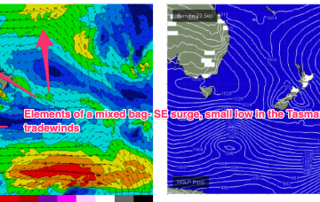
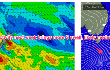
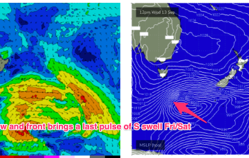
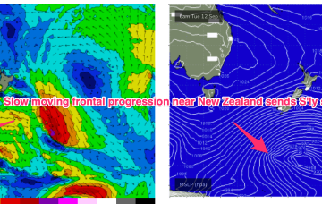
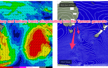
The high pressure belt is behaving in typical spring fashion- tracking NE as it enters the Tasman with episodic N’lies. We’ve got a small fetch out of Cook Strait at present from a decaying low pressure system, and small, compact low about to enter the Tasman. Combined with some swell from a tradewind band feeding into a long trough we’ll see concurrent small swells from these sources.
Primary tabs
Not a great deal of action on the radar for next week but enough swell energy from various sources to get a surf most days. High pressure elongates and drifts NE into the Tasman with a light NW- N’ly flow expected for Mon morning and a small mixed bag of leftover S and E/NE swell filtering down from the tropics.
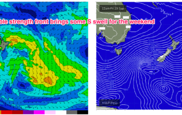
High pressure is now close to New Zealand, with an advancing trough and cold front bringing a fresh S’ly change, expected to generate a strong SE surge up the sub-tropical coast as a new high moves into the Bight and strengthens. Once the high moves into the Tasman over the weekend it’ll set up a blocking pattern but we’re expecting a few small S pulses leading up to that although winds look fickle. E'ly swell from persistent tradewind fetches should continue as a fun background source of swell.
We’ve got another slow moving pattern on our hands to start the week with a high pressure belt at sub-tropical latitudes directing a N’ly flow across the state and a very zonal (W-E) storm track tracking through the far southern Tasman Sea. A tradewind band has weakened and contracted eastwards but is expected to remain slow moving this week, maintaining a small, background signal of E/NE swell.
A trough hovering about the South Coast will see a N’ly flow through Sat, with good odds for a morning NW breeze and a late tilt back to the NW, especially south of Sydney. Further north freshening N’lies look more likely. A few leftover S swell trains should hold some 2 occ 3ft sets at S facing beaches but energy will be in the way down.
We still have a large (1032hPa) high slow moving over NSW directing light N’lies over temperate NSW and SE winds in the sub-tropics. A slow moving frontal progression is gradually working it’s way clear of New Zealand longitudes while sending pulses of S’ly groundswell our way.
A big dominant high (1032hPa) is sitting over SE Australia, with a series of powerful fronts passing well to the south and the progression slowed in New Zealand longitudes. The high is slow moving, setting up a dichotomy with N’ly winds across temperate NSW and a more SE flow in a ridge along the sub-tropics. Across all regions we’ll see pulses of S’ly groundswell this week from the deep fetches located in the Far Southern Tasman.
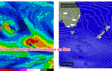
The headline act is a complex low system approaching Tasmania with an embedded front and linked to a long inland trough. A NE-E/NE infeed into this system has produced swell from that quarter and as the low clears the swell shadow of Tasmania we’ll start to see swells from the S. Following systems next week look to generate stronger, longer period S’ly swells.
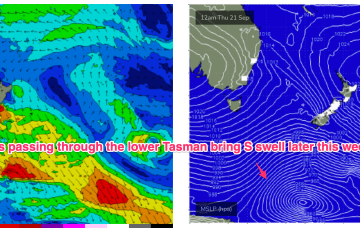
A front and small low are now racing across the Tasman with a high over NSW moving into the Tasman and directing a freshening N’ly flow across most of the Eastern Seaboard. So far, so spring. A complex low, front and trough then approaches from the W, bringing a flush of W’ly winds and a S swell.
The following system expected over the weekend now looks a little stronger and under current modelling is expected to be a source of fun sizey S swell, potentially with several large pulses into next week.

