/reports/forecaster-notes/sydney-hunter-illawarra/2017/07/10/average-week-mixed-south-swells-ahead
thermalben
Monday, 10 July 2017
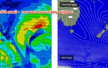
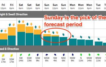
We’ve got a couple of south swells on the way for the next few days.
/reports/forecaster-notes/sydney-hunter-illawarra/2017/07/07/small-easing-weekend-waves-late-next
thermalben
Friday, 7 July 2017
Although the south and east swells have punched above their weight over the last 18 hours, this doesn’t necessarily mean we’ve got a major upgrade for the weekend surf forecast.
/reports/forecaster-notes/sydney-hunter-illawarra/2017/07/05/small-south-swell-finish-week-not-much
thermalben
Wednesday, 5 July 2017
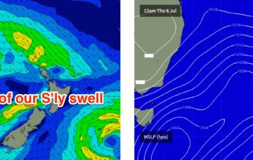
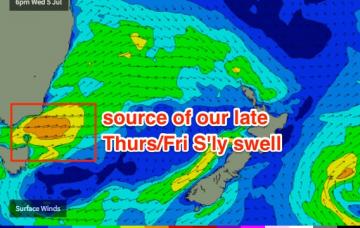
The models have slightly weakened the front exiting eastern Bass Strait (for tonight), which has both eased the projected size for the flukey south swell I was expected later Thursday, and also narrowed the peak of the event into a short timeframe - most of which will occur overnight Thursday.
/reports/forecaster-notes/sydney-hunter-illawarra/2017/07/03/extended-spell-small-waves-sydney
thermalben
Monday, 3 July 2017
We’ve got a spell of generally small surf ahead.
/reports/forecaster-notes/sydney-hunter-illawarra/2017/06/30/solid-swells-south-and-south-east
thermalben
Friday, 30 June 2017
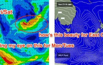
A secondary front wrapping around the core Tasman Low overnight tonight - but positioned further east in the Central Tasman Sea - will generate a secondary S/SE thru' SE swell that should fill in on Sunday morning.
/reports/forecaster-notes/sydney-hunter-illawarra/2017/06/28/large-windy-south-swells-building-friday
thermalben
Wednesday, 28 June 2017
We’ve got two completely different days ahead to finish the week.
/reports/forecaster-notes/sydney-hunter-illawarra/2017/06/26/coupla-south-swells-way-week-big-and
thermalben
Monday, 26 June 2017
There are a couple of sources of new swell for the coming days.
/reports/forecaster-notes/sydney-hunter-illawarra/2017/06/23/easing-east-then-building-south-swells
thermalben
Friday, 23 June 2017
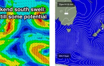
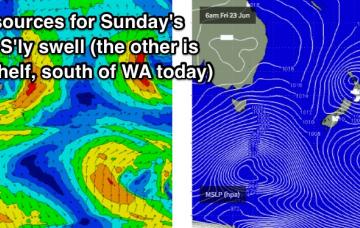
The weekend forecast has become a little more complex, from our south swell window.
/reports/forecaster-notes/sydney-hunter-illawarra/2017/06/21/easterly-swells-finish-week-long-period
thermalben
Wednesday, 21 June 2017
Friday is looking much better with a new ridge of high pressure swinging winds around to a moderate W/NW. This should groom the beaches nicely with the combo of E’ly and S’ly swells.
/reports/forecaster-notes/sydney-hunter-illawarra/2017/06/19/aint-winter-grand-southern-nsw
thermalben
Monday, 19 June 2017
We’ve got some really good waves ahead this week.

