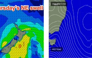
/reports/forecaster-notes/sydney-hunter-illawarra/2017/10/11/fun-ne-swell-thurs-sly-swell-fri
thermalben
Wednesday, 11 October 2017
There’s plenty of swell potential for the weekend, but we are at increasing risk of poor conditions.
/reports/forecaster-notes/sydney-hunter-illawarra/2017/10/09/mix-swells-tuesday-fun-ne-swell-thursday
thermalben
Monday, 9 October 2017
Today’s SE swell is already easing and will be a shadow of its former self by Tuesday morning.
/reports/forecaster-notes/sydney-hunter-illawarra/2017/10/06/best-day-period-shunted-monday
thermalben
Friday, 6 October 2017
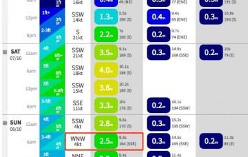
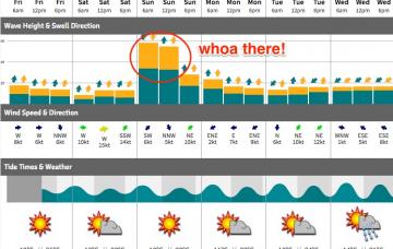
Whoa! There’s been some significant revisions in the model guidance since Wednesday, which has dramatically altered the outlook for Sunday.
/reports/forecaster-notes/sydney-hunter-illawarra/2017/10/04/sunday-morning-pick-forecast-period
thermalben
Wednesday, 4 October 2017
There won’t be any shortage of size this weekend, thanks to this developing Tasman Low.
/reports/forecaster-notes/sydney-hunter-illawarra/2017/10/02/peaky-swell-mix-coming-days-large-surf
thermalben
Monday, 2 October 2017
More interesting is the latest model guidance suggesting we’ll see the early incarnation of a deep Tasman Low forming east of Tasmania late Thursday.
/reports/forecaster-notes/sydney-hunter-illawarra/2017/09/29/strong-south-swell-sunday-plenty-surf
thermalben
Friday, 29 September 2017
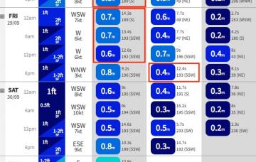
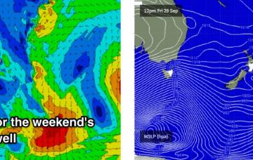
Today's good news is that we’ve had a decent upgrade for Sunday’s south swell, back inline with what I was projecting last Monday.
/reports/forecaster-notes/sydney-hunter-illawarra/2017/09/27/fun-peaky-ne-swell-thurs-decent-sly
thermalben
Wednesday, 27 September 2017
This afternoon’s strengthening NE winds will reach a peak overnight, generating a solid short range NE swell that should manage early 3ft+ sets across NE facing beaches at dawn on Thursday.
/reports/forecaster-notes/sydney-hunter-illawarra/2017/09/25/alternating-sly-and-ne-swells-then
thermalben
Monday, 25 September 2017
Whoa! There’s some pretty serious frontal activity progged for the Tasmanian region later this week, which should set up a strong south swell for the weekend.
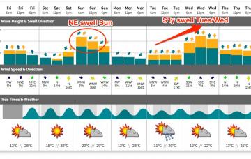
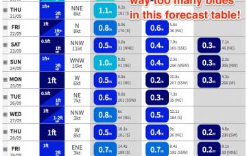
/reports/forecaster-notes/sydney-hunter-illawarra/2017/09/22/fun-ne-swell-sunday-south-swells-follow
thermalben
Friday, 22 September 2017
Looks like we’ve had an improvement in the weekend outlook, at least for the second half of it.
/reports/forecaster-notes/sydney-hunter-illawarra/2017/09/20/extended-period-small-surf-ahead
thermalben
Wednesday, 20 September 2017
Easing surf is expected on Thursday ahead of a minor renewal of south swell on Friday.

