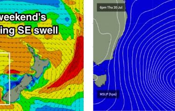
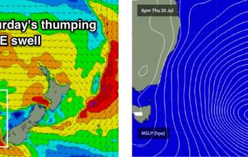
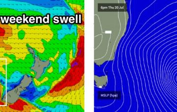
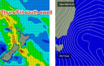
Although yesterday and today came in bigger than expected, there’s no change to the outlook for tomorrow.
Primary tabs
/reports/forecaster-notes/sydney-hunter-illawarra/2017/08/02/fun-sse-swell-thurs-smaller-ely-swells
thermalben
Wednesday, 2 August 2017
/reports/forecaster-notes/sydney-hunter-illawarra/2017/07/31/couple-days-sse-swells-southern-nsw
thermalben
Monday, 31 July 2017
A low is developing off the South Coast, and will be our primary source of swell for the next few days.
/reports/forecaster-notes/sydney-hunter-illawarra/2017/07/28/aim-early-surf-saturday-otherwise
thermalben
Friday, 28 July 2017
As mentioned on Wednesday, Saturday morning is still the pick!
/reports/forecaster-notes/sydney-hunter-illawarra/2017/07/26/more-south-swell-ahead-late-next-week
thermalben
Wednesday, 26 July 2017
We’ve got some great surf ahead for the rest of the week.
/reports/forecaster-notes/sydney-hunter-illawarra/2017/07/24/fun-week-south-swell-ahead
thermalben
Monday, 24 July 2017
We’ve got some good waves ahead over the coming days.
/reports/forecaster-notes/sydney-hunter-illawarra/2017/07/21/large-se-swell-weekend-more-sly-swell
thermalben
Friday, 21 July 2017
There's no change to the weekend's excellent forecast.
/reports/forecaster-notes/sydney-hunter-illawarra/2017/07/19/strong-windy-end-week-excellent-clean-se
thermalben
Wednesday, 19 July 2017
You know it’s tiny when the Sydney buoy is recording a metre of swell out of the west.
/reports/forecaster-notes/sydney-hunter-illawarra/2017/07/17/strong-windy-end-week-ahead-fantastic
thermalben
Monday, 17 July 2017
At this stage it’s shaping up to be the best weekends of winter waves thus far this season. Let’s hope the models don’t move around too much.
/reports/forecaster-notes/sydney-hunter-illawarra/2017/07/14/small-surf-next-few-days-ahead-solid
thermalben
Friday, 14 July 2017
The weekend ain’t looking too crash hot.
/reports/forecaster-notes/sydney-hunter-illawarra/2017/07/12/small-sydney-swells-ahoy
thermalben
Wednesday, 12 July 2017
Not a lot of action on the way for the coming days.

