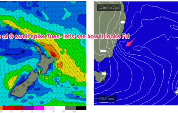
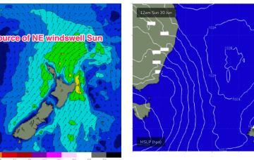
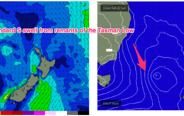
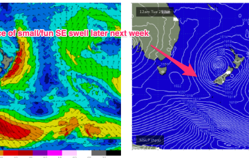
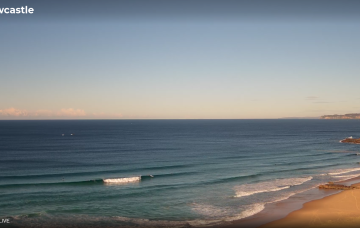
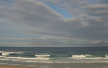
Our benign outlook runs into the weekend and right through it so there’ll be a few days better suited for rockfishing/inshore diving ahead.
Primary tabs
The Tasman Sea, by contrast, is looking very mellow with a weak high pressure cell over NSW and a few decaying remnants of the long lasting Tasman Low sitting near New Zealand. Those weak pressure gradients across our main S-SE swell window will lead to a very quiet week swell wise, with mostly offshore winds.
S’lies in the a’noon are expected to exceed 20 knots with gusts possible to 30 knots so the a’noon will be windy and mostly blown out. Short period S swell will rise as a result but keep expectations low.
995 hPa low still sitting in the Central Tasman, but the supporting high pressure cell has slipped in underneath the low and as a result we’re seeing a slowly diminishing fetch and easing pressure gradients both in the Tasman and along the coastal fringe.
We’ve got a deep low (988 hPa) semi-stationary in the Central Tasman with strong high pressure support south-west of Tasmania and a broad coverage of strong winds to low end gales through the southern Tasman.
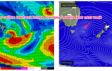
A secondary front pushing into the Tasman coalesces with a deepening low near New Zealand and the system then retrogrades back into the Tasman over an already active sea state delivering powerful S/SE swell before taking up residency in the Central Tasman for a few days next week with a slow, slow easing in big swells expected.
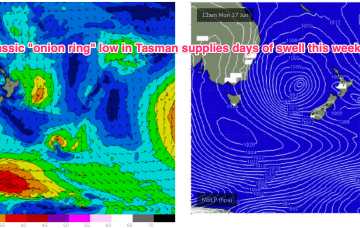
Following that a secondary front coalesces with the primary front to form a complex Tasman low which is expected to occupy the Tasman for a meaningful period of time, even retrograding back towards the East Coast over the weekend.
The main synoptic activity this week will be related to an amplifying node of the Long Wave Trough which is expected to slide through the Tasman Sea before parking itself across New Zealand longitudes later in the week. We’ll see a prolonged round of large to very large swell as a result.
We’ve got a complex weekend of small waves. And then a very active period from the south.
Troughy remnants remain off the North Coast and South Coast interior and these troughs are expected to deepen and reform into another surface low through Fri into the weekend with another round of E/NE infeed swell and S swell although much more subdued than last weekends swell.

