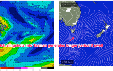
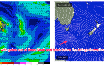
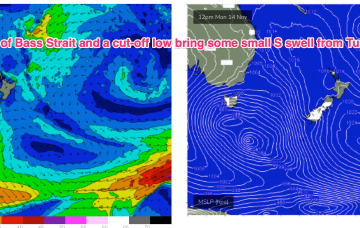
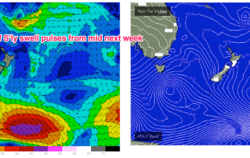
We are seeing the “schizoid” pattern now develop whereby a monsoonal trough is splitting off a low pressure trough along the CQ coast, supported by a high pressure belt from the Bight to the Tasman Sea, while fronts and a parent low are entering the lower Tasman. That is seeing a regime where both S swells and a developing E’ly swell event are both in play across most of the Eastern Seaboard.
Primary tabs
Small swells and onshore winds into the weekend with some potential for juicier surf later next week
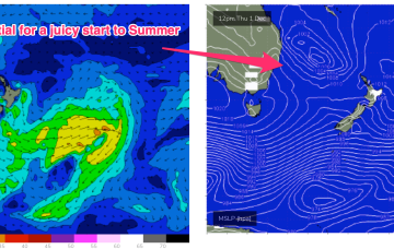
We’ve got an interesting looking pattern as we transition into Summer, with both active frontal systems transiting below the continent and a precursor monsoonal trough across the top end of Australia. A front pushing into the Tasman Sea and a deeper parent low bring S swell pulses this week while a trough of low pressure is expected to hive off the precursor monsoon trough mid week and sit in the Coral Sea later this week, bringing E swell for the Eastern Seaboard- initially to the sub-tropics and then spreading down to temperate NSW over the weekend at reduced levels.
By Wed we’ll see a pattern change as a strong high pressure belt straddles Tasmania and we start to see the influence of a trough associated with the monsoon off the QLD Coast.
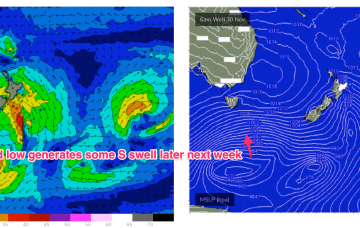
We’ve had the entrees for this S swell event and we’re now close to the main course with a deep low (977hPa) and gales tracking NE into the Tasman from behind Tasmania. These gales are on track to deliver the juiciest pulse of this event through tomorrow, with weak high pressure moving over NSW.
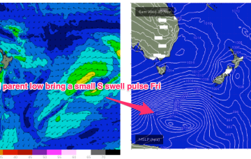
Yesterday’s W’ly change was the herald for a strong frontal progression which is currently unfolding at the gateway to the Tasman Sea. We have a front tied to a small low E of Tasmania with a much deeper parent low well to the south of Tasmania. There are multiple swell generating fetches associated with this complex low arrangement.
We’re past the peak of the current S swell event as the large low pressure system drifts towards New Zealand, weakening as it does so and a more mobile high pressure system moves north-east into the Tasman Sea, bringing N’ly winds.
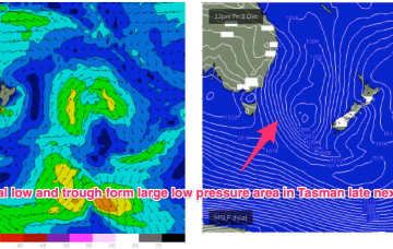
The low east of Tasmania moves NE and joins other areas of troughy low pressure to form a large low pressure gyre which occupies most of the Tasman Sea through the latter part of this week. Surf size will be limited by the relatively weak supporting high pressure cell which is currently tracking through the Bight. We’re still looking at plenty of moderate size surf from the S quadrant to end the week and carry through into the start of the weekend.
Through the early part of this week the low slips SE of Tas and a complex, troughy pattern with multiple low centres sits in the Tasman. This complex low pressure area eventually gets squeezed by an oncoming high generating fresh S’lies and which overlap with deeper S’ly fetches to create a series of S swells later this week.
A Bass Strait fetch later Mon should provide some small refracted S swell later Tues, likely missing the South Coast-Illawarra stretch and showing from Sydney to the Hunter with some 2-3ft sets in the a’noon.
A long trough through the Coral Sea and South Pacific with embedded low pressure centres is not tightening the pressure gradient to the extent modelled. As a result surf is coming in at the low end of f/cast expectations, and this soft trend is expected to continue.

