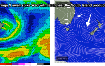
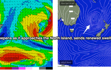
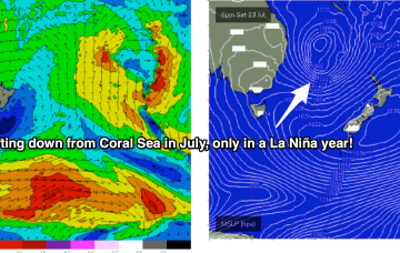
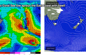
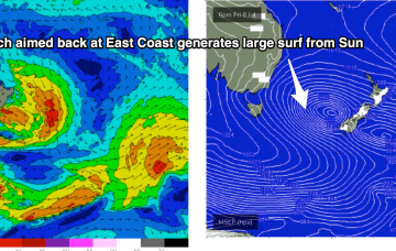
Lovely looking map this morning with the weekend’s Coral Sea low lingering near the North Island, having intensified overnight. Current ASCAT (satellite windspeed) pass shows storm force winds embedded in a larger fetch of SE-ESE gales to severe gales aimed back at NSW.
Primary tabs
East Coast or hybrid low is now drifting towards Fraser Island, anchored by a huge high (1038hPa) just east of Tasmania. That's directing gales towards SEQLD, and a broad fetch of E/SE winds as far south as the Hunter.
The basic building blocks as we described them in Monday's notes are now in place for (another!) dynamic La Niña mediated surf/weather event. A dominant high pressure system (1034hPa) is strengthening as it slowly crosses Tasmania, a typical Summer latitude for high pressure. The remains of a low near the South Island are continuing to send south quadrant swells our way and most notably a trough of low pressure in the Coral Sea is deepening and expected to activate into a fully fledged Coral Sea surface low as an upper trough moves over it from inland QLD tomorrow.
Surf comes from a wide variety of sources this week as a typical strong winter cold front gets shunted aside by a very La Niña looking synoptic pattern, more reminiscent of Feb/Mar than July.
Longer term has some some ordinarily unseasonable tropical activity in the Coral Sea, which is seemingly becoming the norm.
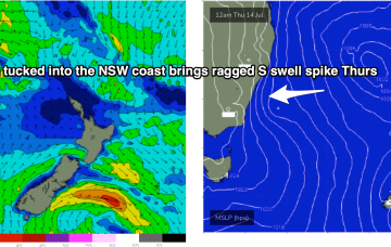
A trough line moving north-wards along the NSW Coast is spawning a surface low pressure system today, with the pressure gradient between the low and a high advancing through the interior creating a stiff S’ly flow along the coast.
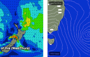
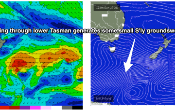
The remnants of the Tasman Low (ex ECL) are now drifting near the South Island, on top of a large high which is slowly moving out of the Tasman Sea. A high is approaching from the South Australian interior, with a trough expected to form off the coast later Tues and develop a broad, relatively weak low in the Central/Northern Tasman.
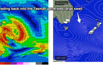
The main low is drifting towards the South Island and intensifying today, with gales to severe gales expected to retrograde NW back into the Tasman Sea.
A massive cloud-band enveloping most of the Eastern Seaboard, tied to a complex low pressure system in the Tasman, and strong high pressure system with both systems slow moving. Multiple trough lines also complicate the situation, leading to uncertain movements of the main low, and development of secondary low pressure centres, of which one is expected to form off the Mid North Coast today.
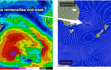
Tasman Sea is looking very, very spicy this week with our current low looking to meander N and E, then S and reintensify later in the week, spraying the East Coast with swell with more favourable conditions.

