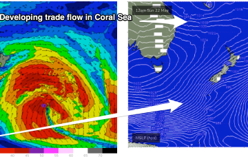
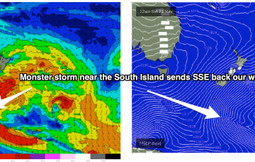
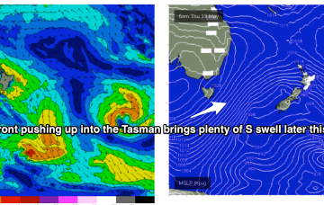
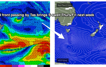
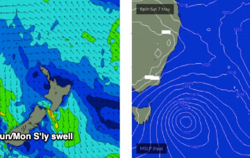
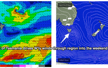
The frontal progression responsible for the S swell pulses over the last couple of days is now on the New Zealand side of the Tasman, with a large high approaching Tasmania setting up a firm ridge along the coast.
Primary tabs
A series of cold fronts with embedded troughs are now steaming into the Tasman Sea, anchored by a deep polar low which provided large swells for Victoria and New Zealand’s West Coast.
Stronger fronts push up into the Tasman from later Wed, bringing a SW flow and bigger S swell as we head to the end of the week.
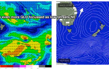
No great change to the weekend f/cast. The fetch of deep E to E/NE winds in the Coral and Northern Tasman Sea is contracting northwards around a surface low off the CQ/Fraser coast, and expected to fizzle out over the weekend.
No great changes to the front end of this weather/surf event, which is starting to kick into gear now. The latter stages have been wound back a few notches, reducing the expected wave heights over the peak of the swell, so let’s take a look at it.
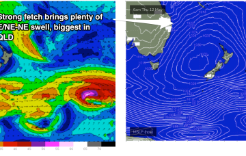
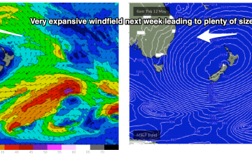
A large high is now moving into the Tasman Sea and strengthening- that will be the main synoptic feature this week- setting up a deep ridge and a strong E’ly pattern through the Tasman Sea. Further north an interior upper trough and potential coastal trough/surface low will combine to drive an intense E/NE to NE wind flow through the Coral and Northern Tasman Sea.
That high will set up a ridge through the week and essentially be the “anvil” for any trough or low pressure development in the Tasman or Coral Sea. A coastal trough off SEQLD/Fraser Coast and interior upper trough combine through the start of next week to increase SE/E winds, initially in the Coral Sea.
We’ve got more of the same for the next few days, if anything with a slight improvement on the surface as a frontal passage brings westerly winds to the coast.
High pressure is sitting over the interior of Central NSW, leading to wonderful, settled conditions, with a trade flow in the South Pacific supplying a steady drumbeat of small, fun E/NE swell.
A quick scan of the hindcast charts shows a phenomenal polar low well SE of New Zealand, generating a Code Red swell for Tahiti - but it’s just on the periphery of our flukey SE swell window and will probably generate some small intermittent sideband energy.

