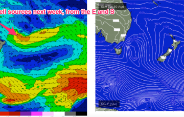
Next week looks typical of Spring with a series of strong fronts transiting through our south swell window, although at somewhat low latitudes.
Primary tabs
The Tasman low is out of the swell window and a large high is now moving over Tasmania to take up position in the Tasman Sea at a southerly latitude typical of the high pressure belt under the La Niña phase of the ENSO cycle. The high will move E with a N’ly flow rapidly developing as pressure gradients get tightened by an approaching front, complex low and trough line.
Conditions should settle down quite quickly through the first half of the week as the rambunctious low which passed over Lord Howe Island on the weekend quickly scoots across to the North Island, with trailing fetches near the South Island and out of Cook Strait maintaining good surf through mid-week.
Plenty of size and wind for Father's Day weekend, slowly settling into next week with better options
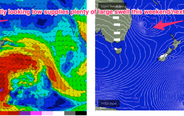
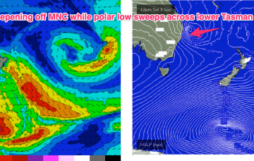
Complex and dynamic weekend ahead, with an upper trough, surface trough and front forming a surface low in the convergence off the North Coast. The initial front now feeds into a deepening trough line off the Mid North Coast (separate to the developing surface low off the North Coast ) which amplifies the fetch of S/SE winds adjacent to the Central NSW Coast.
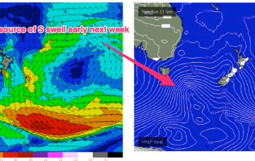
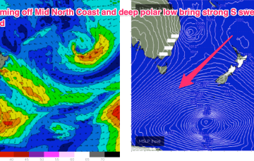
The current pattern- with weak high pressure drifting across Central NSW and a soft ridge along the coast- will be replaced in emphatic fashion by a much stronger front and trough on Friday, anchored by a monster high moving into the Bight at the same time. Well to the south of that set-up will be a deep polar low and associated fronts with severe gales to storm force winds generating long period S’ly swells to make landfall early next week.
Not a great deal of action on the charts to start the last week of Winter. A strong high (1040hPa) is on the other side of New Zealand but pressure gradients in the Tasman are weak, with minimal swell energy being generated from that source. N’ly winds are freshening ahead of a trough which is drawing down more moisture from the Indian Ocean and brings a S’ly change mid-week and a small pulse in S swell.
Bit of a slow weekend ahead, with easing southerly swells for Saturday becoming very small into Sunday.
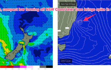
The current robust but compact low is driving near gales in a thin fetch adjacent to the Central/Mid North Coast, with a tail of weaker winds extending out into the Central Tasman, with the whole show moving eastwards quickly today. Another, much weaker front, pushes up the coast tomorrow before a large high pressure system sets up a ridge along the temperate to sub-tropical coast of NSW.
Synoptic charts this week look typical of a seasonal transition with mobile high pressure up at sub-tropical latitudes and a strong front poised to sweep into the Tasman with a robust low forming on the front line before rapidly shifting eastwards. Behind that typical seasonal pattern lurks signs of La Niña with a persistent trough line in the Coral Sea and a very strong high expected to track through the Southern Bight later this week.
Things just got super complex for next week, dammit.

