/reports/forecaster-notes/western-australia/2024/12/20/easing-weekend-some-good-new-swell-next-week
Craig
Friday, 20 December 2024
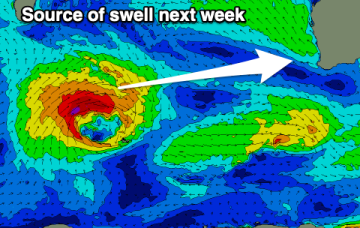
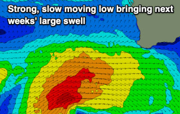
Southerly winds will create tricky conditions next week when a strong pulse of new W/SW groundswell fills in.
/reports/forecaster-notes/western-australia/2024/12/18/large-swells-the-coming-days
Craig
Wednesday, 18 December 2024
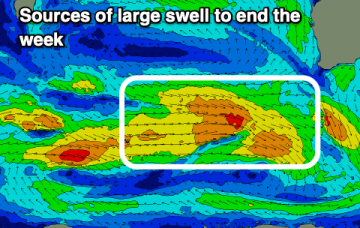
Conditions won't be as favourable but more large surf is due to end off the week.
/reports/forecaster-notes/western-australia/2024/12/16/excellent-surf-tomorrow
Craig
Monday, 16 December 2024
Tomorrow morning is shaping up really nicely, with a good, reinforcing W/SW groundswell for Thursday.
/reports/forecaster-notes/western-australia/2024/12/13/poor-weekend-large-early-next-week
Craig
Friday, 13 December 2024
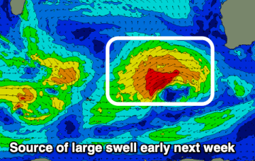
Get some Chrissy shopping done this weekend and focus on early next week when another large swell is due.
/reports/forecaster-notes/western-australia/2024/12/11/another-large-swell-early-next-week
Craig
Wednesday, 11 December 2024
Our overactive start to summer continues.
/reports/forecaster-notes/western-australia/2024/12/09/large-swell-today-easing-the-rest-the-week
Craig
Monday, 9 December 2024
Make the most of the current swell ahead of a poor weekend.
/reports/forecaster-notes/western-australia/2024/12/06/easing-surf-the-weekend-large-early-next-week
Craig
Friday, 6 December 2024
Today's swell will ease over the coming days ahead of a large, powerful groundswell early next week.
/reports/forecaster-notes/western-australia/2024/12/04/fun-run-surf-ahead-large-early-next-week
Craig
Wednesday, 4 December 2024
From tomorrow conditions will slowly improve along with a large swell early next week.
/reports/forecaster-notes/western-australia/2024/12/02/easing-surf-onshore-winds-better-later-week
Craig
Monday, 2 December 2024
The coming days look average with easing surf and onshore winds, cleaning up later week.
/reports/forecaster-notes/western-australia/2024/11/29/large-wintry-swell-enroute-monday
thermalben
Friday, 29 November 2024
Long term is still suggesting an extended run of summeresque small surf with fresh S/SE winds as a high pressure ridge remains slow moving to our west.

