/reports/forecaster-notes/victoria/2024/12/20/poor-run-conditions-afternoon-through-early-next-week
Craig
Friday, 20 December 2024
It won't be until Christmas day that we see the winds back off and surf clean up.
/reports/forecaster-notes/victoria/2024/12/18/good-waves-the-beaches-end-the-week
Craig
Wednesday, 18 December 2024
Hit the beaches over the coming days ahead of tricky, mostly onshore winds from the weekend into early-mid next week.
/reports/forecaster-notes/victoria/2024/12/16/good-west-swell-inbound-cleanest-it-eases
Craig
Monday, 16 December 2024
A good sized westerly swell is due Wednesday but with onshore winds, improving as it eases later week.
/reports/forecaster-notes/victoria/2024/12/13/tricky-wind-outlook-good-westerly-swell-next-week
Craig
Friday, 13 December 2024
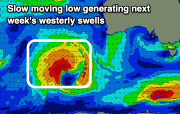
Winds will create tricky conditions through next week with a new, moderate sized westerly swell.
/reports/forecaster-notes/victoria/2024/12/11/upgrade-in-swell-the-end-the-week
Craig
Wednesday, 11 December 2024
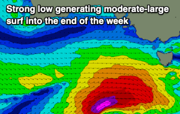
A strong low is firing up to the south-west of the state, bringing a solid spike in swell over the coming days.
/reports/forecaster-notes/victoria/2024/12/09/fun-week-the-surf-coast
Craig
Monday, 9 December 2024
Every morning looks clean with a stronger swell for later week.
/reports/forecaster-notes/victoria/2024/12/06/hit-the-beaches-attention-swings-the-surf-coast
Craig
Friday, 6 December 2024
The beaches are the pick today ahead of a favourable run for the Surf Coast.
/reports/forecaster-notes/victoria/2024/12/04/fun-surf-end-the-week
Craig
Wednesday, 4 December 2024
The end of the week looks fun for a surf with a reinforcing westerly swell with favourable winds, mostly poor on the weekend.
/reports/forecaster-notes/victoria/2024/12/02/hit-the-beaches-over-the-coming-days
Craig
Monday, 2 December 2024
The coming week will be best suited to the beaches with fun pulses of swell.
/reports/forecaster-notes/victoria/2024/11/29/tricky-favourable-outlook-both-regions
Craig
Friday, 29 November 2024
Winds will vary quite a bit this period but there are windows for good to great waves across both regions.

