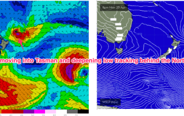
A front passing Tasmania today triggers an angled trough of low pressure off the NSW Coast o/night which quickly moves out into the Tasman Sea. The front will generate strong S swells for Sat with fresh SW winds.
Primary tabs
Backed by a strong high we’ll see very tight coastal pressure gradients with strong S’lies Sat and a large windy S swell
A much stronger and more aggressive frontal intrusion Fri looks to see S swell spike in the a’noon with tiny surf building rapidly into the evening.
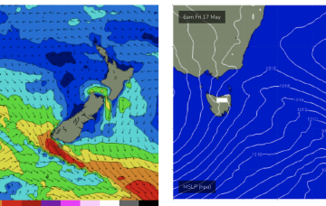
High pressure is slowly advancing over Tasmania bringing settled conditions and light winds. No great change to the weekend f/cast. Todays S swell levels off a notch through Sat.
Polar lows are expected to send some more small S pulses later this week into the weekend.
In fact, it becomes reinforced by a new high and this peanut high straddling Tasmania will set up a right of S’ly winds which will tend E’ly later in the week as high pressure moves to the E of the Island. Some polar low activity will supply some small S groundswell pulses this week.
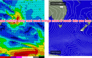
Into next week and light winds Mon and Tues as high pressure approaches the state. Not much swell on tap.
A storm force polar low is better aimed at Pacific targets but we’ll still see some long period S groundswell from it this weekend, with the proviso that S’ly winds will remain persistent.
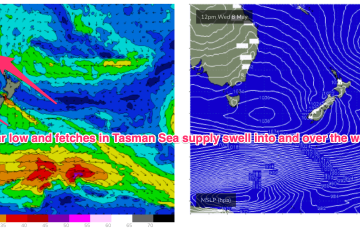
A strong frontal progression will bring S’ly groundswell during the week. Later fronts in the far southern/central Tasman remain strong and although better aimed at Pacific targets we’ll still see some significant sideband S’ly energy from them.
By Tues we’ll see a powerful front sweep past the state with a zonal fetch. We’ll see some small S swell wrap to 2-3ft at S facing beaches Tues.


