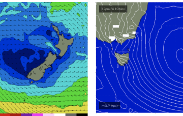
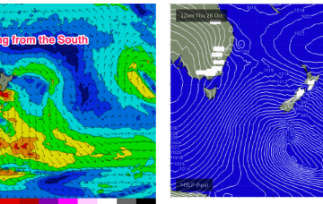
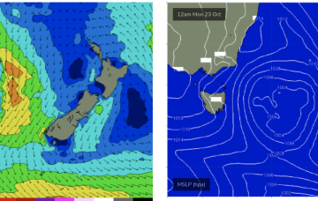
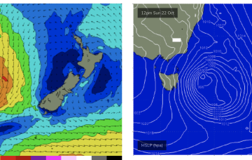
The high initially weakens with a lighter onshore flow before re-strengthening as it approaches New Zealand and has the pressure gradient tightened on the western flank by the complex trough systems. That will produce a N’ly flow, expected to increase as the week goes on with increasing NE windswell late in the week and early weekend.
Primary tabs
Into next week and the main story is a large high moving into the Tasman and becoming slow moving, setting up a summer-style blocking pattern with developing NE winds and NE windswell, becoming solid by the end of the week.
Under current modelling this should be an extended event as the N'ly fetch persists and actually increases later next week.
Into next week and more marginal swells not offering much in the way of size. It’ll likely be ankle snappers for at least the first half of next week.
We’ve already seen solid S swells in NETas from the frontal system with smaller surf expected from the sub-tropical low system.
Spectacular charts more characteristic of late Summer/Autumn with a Cat 5 TC in the South Pacific bearing down on Vanuatu, and a powerful frontal intrusion poised to enter the Tasman Sea backed by a monster high in the Bight.
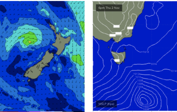
The powerful surface low in the Northern Tasman this weekend is expected to send some quality E/NE swell down to NETas.
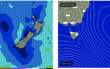
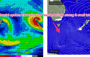
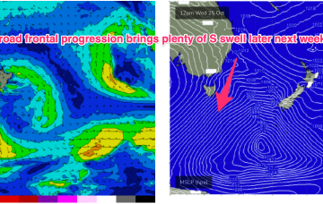
The fetch is very broad, basically the entire lower Tasman covered in gales under current modelling. That suggests plenty of size from the S-S/SE Thurs, persisting into Fri.
Nothing much of interest in the short run. A deep polar low sends some small long period S swell wrap to the Coast tomorrow.
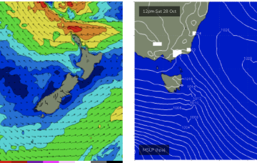
A strong front and embedded trough of low pressure are currently located just off the Gippsland Coast, expected too move NE into the Tasman and driving a strong/ near gale force S’ly flow up the Tasmanian Coast today. There’ll be an initial burst of S swell associated with the proximate fetch before the low moves NE out of the Tasmanian swell window.


