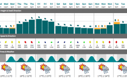
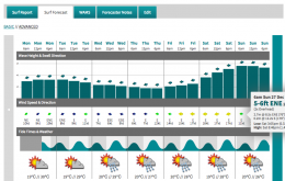
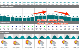
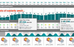
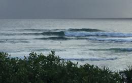
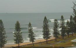
We’ve got some fun waves in store for the rest of the week.
Primary tabs
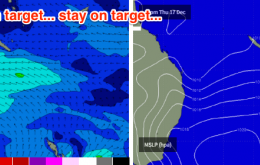
Assuming the model guidance is generally on target - and there’s no reason to think otherwise - we should see a peak tomorrow in east swell.
Sunday’s building E’ly swell is expected to peak on Monday, possibly even holding into Tuesday morning.
Major revisions are required for the impending easterly swell this week, which is a bummer.
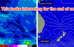
In short: small beach breaks Tuesday and Wednesday, with building E’ly swells Thursday reaching a peak Friday - but with generally moderate to fresh E/SE winds.
On Sunday, the NE windswell and short range S’ly swell will have all but disappeared, only to be replaced by a better southerly groundswell generated by the parent low to Saturday’s change.
Today’s southerly groundswell will ease throughout Thursday, but occasional 2-3ft sets are still likely at Northern NSW south swell magnets in the morning, particularly in the Far North.
Freshening northerly quadrant winds and slowly easing swells are the main ingredient for the entire week.
It’s a simple trend over the weekend - slowly easing E’ly groundswell, and more steadily easing short range SE swell.
Without regurgitating the same analysis as previous forecasts, it’s probably worth honing in some specific points about the upcoming swell(s), so that expectations are kept in check.

