Barely rideable surf this weekend and then tiny/flat for most of next week
Primary tabs
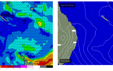
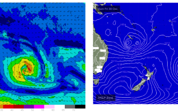
We may see a brief spike in swell this weekend as a low forms off the North QLD coast, seeing a brief flaring of SE-ESE winds along the Capricorn Coast and extending into the Coral Sea.
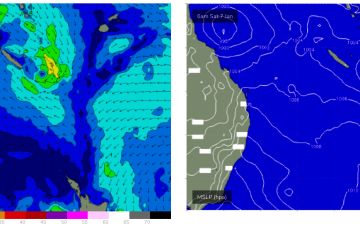
Next possible surf is this weekend a a tropical low is expected to drift down from the Far North QLD coast. We should see an infeed of E/NE winds later Fri, leading to a fast rising spike in E swell Sat.
Next possible surf is this weekend a a tropical low is expected to drift down from the Far North QLD coast. We should see an infeed of E/NE winds later Fri, leading to a fast rising spike in E swell Sat.
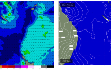
No change to the weekend f/cast. A Monsoonal low continues to send ESE swell to exposed breaks but this low is now beginning to drift southwards, away from the CQ swell window.
The building blocks for a classic Summer monsoonal pattern are now firmly in place and almost the entire Eastern Seaboard from the Tropic of Capricorn to Tasmania is going receive swell as a result of it.
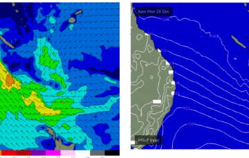
We’re now on the cusp of a dynamic, tropical induced blocking pattern with low pressure hiving off an active monsoon trough in the Coral Sea and meandering in Coral Sea before drifting down into the Northern Tasman. The high pressure belt holds good support for this low pressure area with reinforcing cells stacking onto a slow moving system located at South Island latitudes. This will see an extended E’ly swell event, with days of pumping E/SE swell ahead.
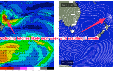
By Boxing Day the broad blocking pattern will be setting with a dominant, slow moving high in the Tasman and low pressure expected to form along the monsoon trough line in the Coral Sea and in the South Pacific near the North Island. That will see at least dual swell producing fetches aimed at the Eastern Seaboard.
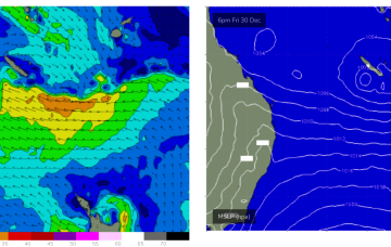
Next week is looking pretty fun as a monsoon trough off the QLD Coast and a large high moving into the Tasman reset the SE flow through the Southern Coral Sea, favouring the Capricorn Channel.
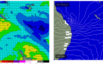
Typical winter set-up gets shunted aside by a very La Niña looking synoptic pattern this week, more reminiscent of Feb/Mar than July.

