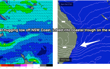
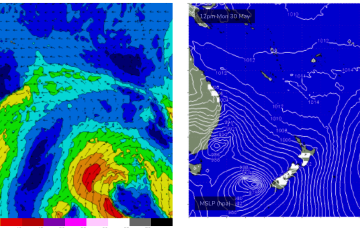
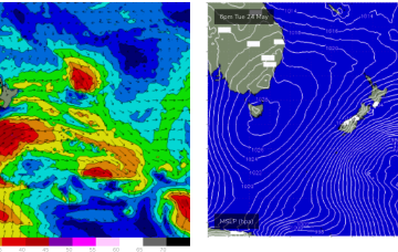
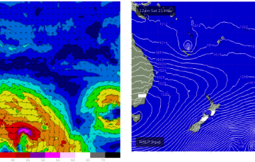
Over the weekend another monster high moves well south of the Bight and a series of troughs in the Coral Sea are likely to form either one or multiple surface lows in the basin.
Primary tabs
The fetch is located on the edge of the CQ swell window so is likely to produce some E/SE groundswell at spots open to swell through the Capricorn Channel and north of the Breaksea Spit.
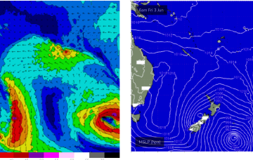
Looking to the end of the week and a trough of low pressure and a weak trade flow combine inside New Caledonia Wed/Thurs.
Both those factors will drive a series of strong cold fronts this week, with no meaningful swell for the CQ coast due to the acute Southerly swell direction.
No change to the outlook, winter cold fronts are now pushing across the south-east of the country with S swells for areas south of Fraser Island.
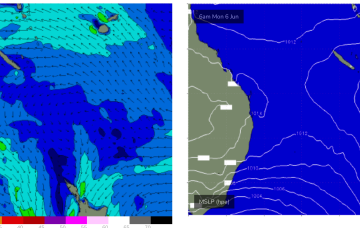
So with offshore winds expected and no tradewind or E’ly winds in the Coral Sea, expect tiny/flat surf to extend through this week and likely into next week too.
A surface low in the Southern Coral Sea is now tracking southwards, dragging swell producing E’ly winds out of the CQ swell window, for the first time in weeks.
Central QLD Forecaster Notes by Steve Shearer (issued on Wed 25th May)
This weekend and next week (May25-June3)
Central QLD: Get in while you can. Surf easing to tiny/flat by the weekend
Last days of an incredible run of E swell ahead, so get in if you can.

It's been an incredible run of surf, coming to an end this weekend
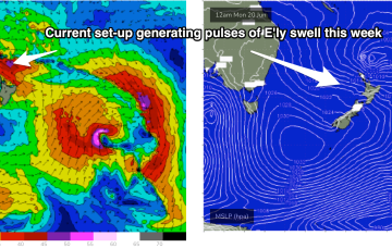
Sub-tropical troughs and the remnants of TC Gina near New Caledonia are maintaining a deep E’ly flow through the Coral Sea, which has seen plenty of surf across the CQ coast.
Through the weekend, short range ESE swell from the tradewind fetch will supply the dominant swell trains, especially in CQLD.

