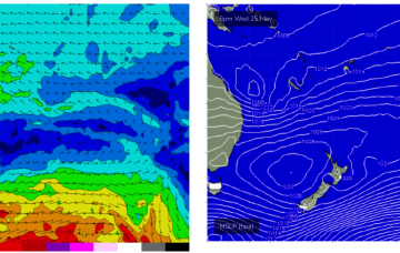
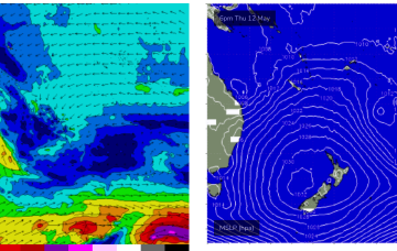
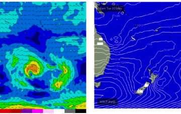
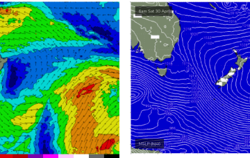
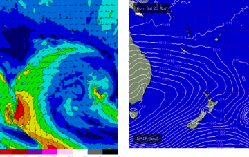
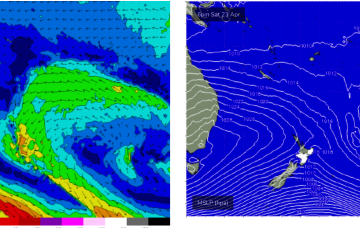
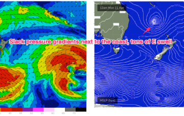
Following that an active tradewind pattern in the Coral Sea supplies another round of E swell for the region, with a trough of low pressure expected to form off the Capricorn Coast and energise further the E/SE winds off the CQ coast.
Primary tabs
More E swell and SE winds into the medium term as the high sets up another trade flow through the Coral Sea. This will see increasing surf through the CQ region from Fri becoming chunky next week.
Pumping surf across the region since the last f/cast with more to come over the weekend.
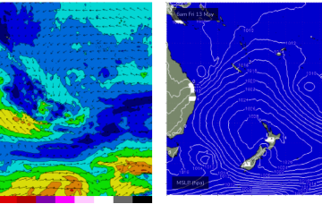
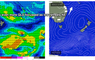
A trough forms a surface low later today off the NQLD coast, drifting south through Thurs and Friday before fading out and tracking back NE towards New Caledonia.
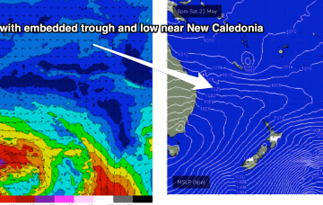
Further north an interior upper trough and potential coastal trough/surface low will combine to drive an intense E/NE to NE wind flow through the Coral and Northern Tasman Sea, generating a large swell for the CQ coast.
High pressure is sitting over the interior of Central NSW, leading to SE wind conditions, with a trade flow in the South Pacific supplying a steady drumbeat of fun, mid-sized E’ly swell.
These expanded and increased Tradewinds are set to directly benefit the CQ coast over the next few days and into next week.
Tiny surf is now beginning to build, beginning a very active phase as a monster high (1037hPa) in the bight builds a firm ridge along the CQ coast.
Just small waves over the last few days but the outlook is looking promising as a monster high starts to build a firm ridge along the CQ Coast over the next few days. This ridge is enhanced by an area of low pressure on the Cape York Peninsula.
Central QLD Forecaster Notes by Steve Shearer (issued on Fri 8th Apr)
This weekend and next week (Apr8-Apr 15)
Central QLD: Waves keep coming over the weekend and into next week
Waves have continued to pump along the Capricorn coast as TC Fili supplies plenty of swell.

Nice way to end the week

