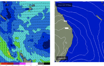
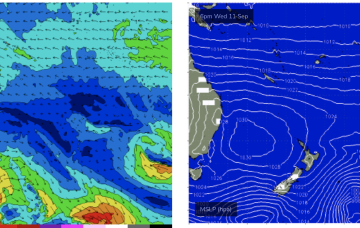
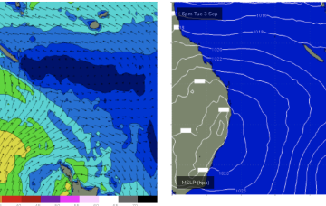
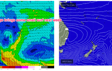
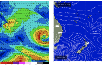
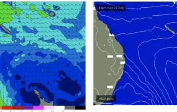
The SE surge from the current high will see small waves over the weekend.
Primary tabs
We’ve got high pressure moving across the Tasman with a much stronger dual-centred high tracking into the Bight. The current high is generating small, just surfable swells for CQ.
Surf then goes tiny into the weekend with a possible rebuild early next week on a SE surge as a strong new high moves into the Tasman.
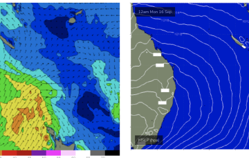
We’ll see tradewinds rebuild early next week as a reinforcing high moves into the Tasman with surf building a notch from next Tues or Wed and staying really fun right through until Fri next week.
Surf should ease early next week but another blocking dual-centred high in the Tasman next week looks to re-strengthen tradewinds in the Coral Sea with wave heights increasing later next week.
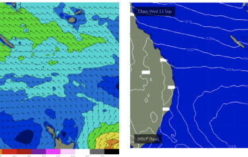
We’ll see a SE surge with the high pressure ridge and a small increase in swell from Wed across the CQ coast.
We’ll see stronger SE surf develop Wed/Thurs as a SE surge propagates up the QLD coast from a strong high pressure ridge
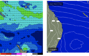
A sub-tropical low SE of Fiji is sending small waves to open stretches of the Burnett Coast with this swell source expected to continue as the system slowly drifts through the South Pacific.
A fetch well to the SE of Fiji this week will supply a small, background signal of E swell from Wed for those spots with open access to the E.
There’s just enough strength in the tradewind flow through the central Coral Sea to see some small surf develop across the CQ coast. That should hold surf into Sat before easing.

