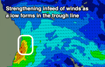
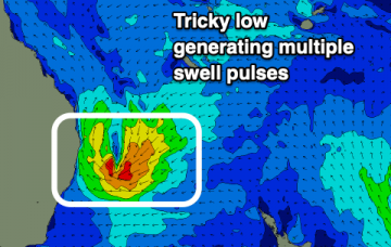
Series of swells out of the S with plenty of windows for offshore winds and clean conditions.
Primary tabs
/reports/forecaster-notes/south-east-queensland-northern-new-south-wales/2021/04/12/s-swells-keep
James KC
Monday, 12 April 2021
/reports/forecaster-notes/south-east-queensland-northern-new-south-wales/2021/04/09/s-swells-next
James KC
Friday, 9 April 2021
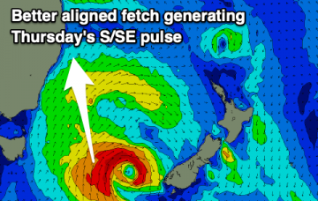
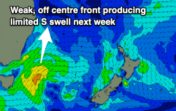
Swell from the low will fade out as S swells become the dominant source next week.
/reports/forecaster-notes/south-east-queensland-northern-new-south-wales/2021/04/07/low-moves-out-s
James KC
Wednesday, 7 April 2021
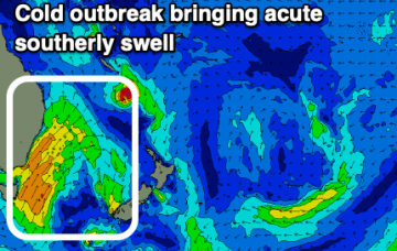
Low beginning to move south opening up more options. S swells for the weekend and next week.
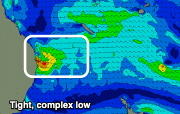
/reports/forecaster-notes/south-east-queensland-northern-new-south-wales/2021/04/05/complex-low
James KC
Monday, 5 April 2021
Best conditions once the complex low shifts south and further offshore. S swells for the weekend and next week.
/reports/forecaster-notes/south-east-queensland-northern-new-south-wales/2021/04/02/limited-options
James KC
Friday, 2 April 2021
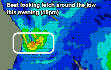
Onshore winds for most of the long weekend, opening up once the low shifts south and winds swing more offshore.
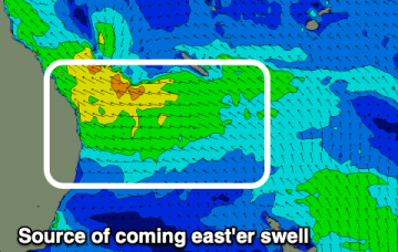
/reports/forecaster-notes/south-east-queensland-northern-new-south-wales/2021/03/31/easter-swell-the
James KC
Wednesday, 31 March 2021
SE swell lingering into the weekend with a larger E swell for Easter Sunday and into the new week.
/reports/forecaster-notes/south-east-queensland-northern-new-south-wales/2021/03/29/easter-swell
James KC
Monday, 29 March 2021
Mid period S swell this week but more interesting E swell for the weekend and next week.
/reports/forecaster-notes/south-east-queensland-northern-new-south-wales/2021/03/26/small-waves-the
James KC
Friday, 26 March 2021
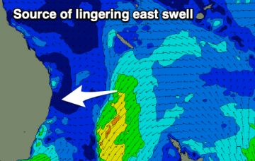
Lingering E swell combines with inconsistent E/SE swell before mid period S swell moves through next week.
/reports/forecaster-notes/south-east-queensland-northern-new-south-wales/2021/03/24/mediocre-autumn
James KC
Wednesday, 24 March 2021
Fading swell with offshore winds before a few weak S changes bring limited swell.
/reports/forecaster-notes/south-east-queensland-northern-new-south-wales/2021/03/22/ne-surge-tomorrow
James KC
Monday, 22 March 2021
Stormy conditions will continue tomorrow before winds finally swing offshore on Wednesday