/reports/forecaster-notes/south-east-queensland-northern-new-south-wales/2021/06/18/solid-s-swell
James KC
Friday, 18 June 2021
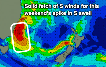
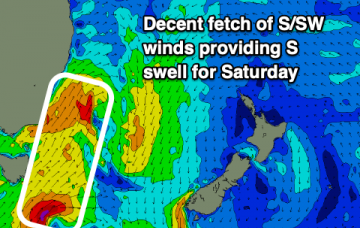
Spike in S swell for this weekend with strong winds keeping most quality waves to southern corners. SE swell for next week but winds are looking more onshore.
/reports/forecaster-notes/south-east-queensland-northern-new-south-wales/2021/06/16/large-s-swell
James KC
Wednesday, 16 June 2021
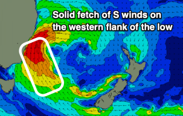
A quiet end to this week before there's a solid S swell for the weekend followed by a SE pulse early next week.
/reports/forecaster-notes/south-east-queensland-northern-new-south-wales/2021/06/14/fading-e-swell
James KC
Monday, 14 June 2021
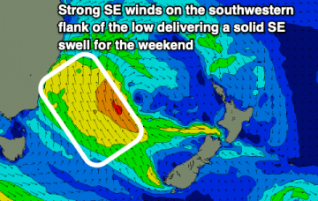
The fading E swell will combine with a few smaller S/SE swells this week before a larger S/SE swell arrives late on the weekend.
/reports/forecaster-notes/south-east-queensland-northern-new-south-wales/2021/06/11/e-swell-continue
James KC
Friday, 11 June 2021
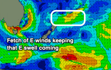
Offshore winds and E swell will mean there will be plenty of options for waves over the weekend.
/reports/forecaster-notes/south-east-queensland-northern-new-south-wales/2021/06/09/nice-little-e
James KC
Wednesday, 9 June 2021
E swell to bring some good clean fun for the next few days and into the weekend.
/reports/forecaster-notes/south-east-queensland-northern-new-south-wales/2021/06/07/quiet-start-the
James KC
Monday, 7 June 2021
Not much action going on to start the week but things are looking up for later in the week and into the weekend.
/reports/forecaster-notes/south-east-queensland-northern-new-south-wales/2021/06/04/weekend-waves-and
James KC
Friday, 4 June 2021
Make the most of this weekend's S swell as there isn't much else on the cards.
/reports/forecaster-notes/south-east-queensland-northern-new-south-wales/2021/06/02/swell-the-weekend
James KC
Wednesday, 2 June 2021
Quiet end to the week before a S swell provides more action for the weekend.
/reports/forecaster-notes/south-east-queensland-northern-new-south-wales/2021/05/31/solid-and-clean
thermalben
Monday, 31 May 2021
The fetch responsible for our current large swell has reached a peak, and is now slowly easing and rotating out of our swell window. This means we’ll see a gradual decrease in wave heights from Tuesday onwards.
/reports/forecaster-notes/south-east-queensland-northern-new-south-wales/2021/05/28/large-wild-and
thermalben
Friday, 28 May 2021
There's some debate in the Swellnet office as to how much size we'll see.

