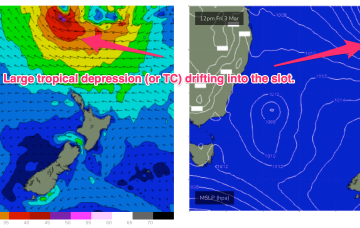
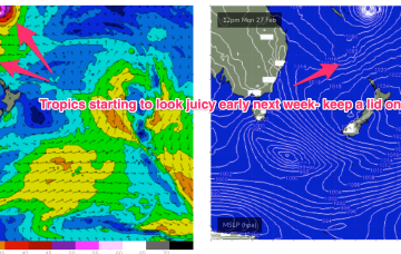
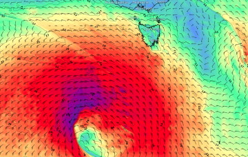
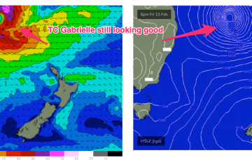
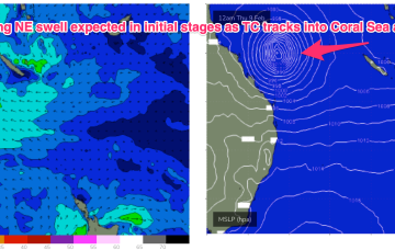
Models are now firming on a large tropical depression (possibly a TC) drifting southwards into the slot between New Caledonia and the North Island from mid next week. A broad, slow moving area of E’ly low end gales is likely on the southern flank of this system, initially favouring the sub-tropics, but radiating down to temperate NSW through next weekend.
Primary tabs
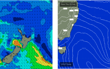
Strong high pressure (1035 hPa) is now moving SE of Tasmania with an embedded trough along the advancing ridge ramping up wind speeds from the SSE-SE into the 20kts+ range. Conditions should settle as the high moves into the Tasman and weakens and the ridge relaxes through the end of the week. The high is augmenting an existing SE-ESE tradewind fetch through the Northern Tasman and Coral Seas and maintaining small E-SE swell.
We've got some waves on the way, but conditions are looking a little average to be honest. There'll be waves but it won't be epic.
OK first up, we've got some small, user-friendly east swell on the way, courtesy of a building ridge across the northern Tasman Sea, stretching out towards a small troughy feature N/NE of New Zealand on Sunday.
Ex TC Gabrielle (SS) is now on the eastern side of the North Island with swell generating winds also in the swell shadow of the North Island. A weak (1017HPa) high is covering most of the Tasman Sea with an active monsoon trough still supplying plenty of tropical moisture and instability across Northern Australia. Remnants of a trough near the South Island have set up a weak, off-axis fetch back into the Tasman Sea. It all spells a much quieter period of surf ahead.
Ex TC Gabrielle is still the main game as far as swell production goes. The former cyclone is now a large sub-tropical storm (SS) slow moving near the top of the North Island. Current ASCAT (satellite windspeed) passes show a broad but short fetch of gales to severe gales extending off the west coast of the North Island, slightly off axis for the East Coast but maintaining a strong swell regime in the short term.
Severe tropical cyclone (Cat3) Gabrielle is currently tracking SE at about 21 knots and is located about 413 nm NE of Brisbane. Early incarnations of the TC as it was drifting SW showed a fetch of storm force to severe gale NE winds around the NE quadrant which is producing a rare NNE-NE long period swell
We should start to see some long period N/NE swell appear, generated by the early stages of TC Gabrielle (developing tonight, actually).
A convective cloud mass between the Solomon Islands and Vanuatu is expected to consolidate and deepen into a tropical cyclone by mid week, tracking back into the Coral Sea towards the tropical QLD coast before recurving and drifting Southwards through the Coral Sea and eventually towards the North Island. Solid swell from this system is expected across most of the Eastern Seaboard
There’s a myriad of swell sources for next week.

