/reports/forecaster-notes/sydney-hunter-illawarra/2017/12/20/small-surf-and-tricky-winds-ahoy
thermalben
Wednesday, 20 December 2017
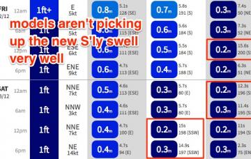
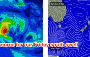
A second, slightly stronger long period S’ly groundswell form the Southern Ocean low may arrive on Saturday.
/reports/forecaster-notes/sydney-hunter-illawarra/2017/12/18/tricky-week-ahead-best-wednesday-ne
thermalben
Monday, 18 December 2017
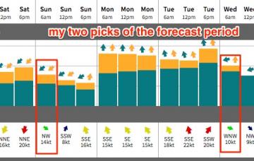
Wednesday is certainly the pick of the forecast period, though wave heights will be smaller at south facing beaches and through the Northern Hunter.
/reports/forecaster-notes/sydney-hunter-illawarra/2017/12/15/easing-swells-throughout-period-tricky
thermalben
Friday, 15 December 2017
We’re inside 24 hours from the weekend and the wind outlook is no less tricky than what was discussed on Monday and Wednesday.
/reports/forecaster-notes/sydney-hunter-illawarra/2017/12/13/tricky-winds-plenty-swell-ahead
thermalben
Wednesday, 13 December 2017
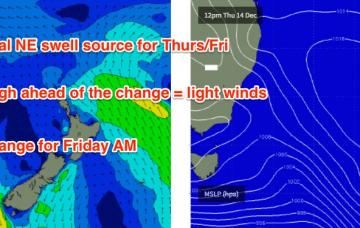
Two different swells will provide waves across our coast to finish the working week.
/reports/forecaster-notes/sydney-hunter-illawarra/2017/12/11/aim-end-week-ne-and-ene-swell
thermalben
Monday, 11 December 2017
We’ve had a downgrade for our upcoming south swell.
/reports/forecaster-notes/sydney-hunter-illawarra/2017/12/08/easing-weekend-swells-rebuilding-south
thermalben
Friday, 8 December 2017
Make the most of Saturday morning as it’ll deliver the biggest and best waves of the weekend.
/reports/forecaster-notes/sydney-hunter-illawarra/2017/12/06/no-shortage-quality-waves-southern-nsw
thermalben
Wednesday, 6 December 2017
The great surf outlook continues.
/reports/forecaster-notes/sydney-hunter-illawarra/2017/12/04/extended-run-great-waves-all-corners-our
thermalben
Monday, 4 December 2017
Jeez, the forecast is complex.
/reports/forecaster-notes/sydney-hunter-illawarra/2017/12/01/punchy-ne-weekend-swell-favourable
thermalben
Friday, 1 December 2017
Short version: stacks of swell potential for the long term, from every angle of our swell window.
/reports/forecaster-notes/sydney-hunter-illawarra/2017/11/29/gusty-ne-winds-ahead-sunday-still-pick
thermalben
Wednesday, 29 November 2017
Looks like a prolonged spell of NE winds ahead. Which - in addition to a building swell - means the recent plunges in sea temps will continue for the foreseeable future.

