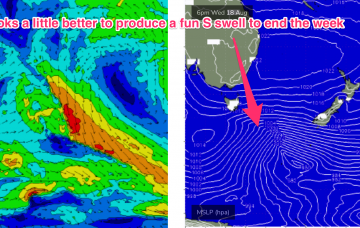
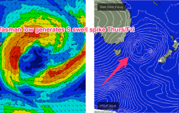
Gales exiting Bass Strait today will see a first pulse of weaker refracted S swell later tomorrow but the real juice is being generated by a deeper fetch of severe gales tracking from 55S up to 40S, into the Tasman sea through today and early tomorrow.
Primary tabs
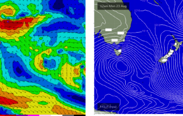
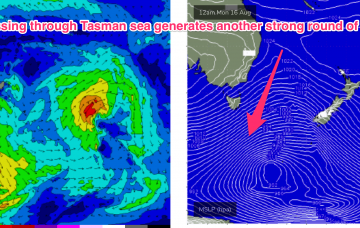
The deeper southern fetch tied to the polar low then fires up and aggressively tracks almost due north towards Tasmania with gales and severe gales extending up to almost Tasmanian latitudes later Mon.
The result is a long, broad fetch of severe gales from 55S up to Tasmanian latitudes Sun , extending even further south late Sun into Mon with a more favourable SSW tilt in wind alignment in the fetch.
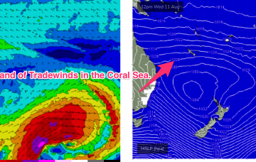
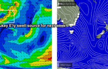
This broad tradewind fetch isn’t anything amazing, but with a persistent coverage of 20-25 Knot winds Tuesday into Thursday we should get a fully developed sea state, which is the maximum amount of energy that can be imparted into the ocean given a certain wind speed
An unusually strong high for this time of year (1034 hPa) sets up in the central Tasman with quite a firm ridge up the QLD coast. It’ll feel like a late Summer pattern with SE winds blowing..
As mentioned on Wednesday a series of SW fetches slingshot up around the complex low and a secondary fetch which extends further south from Tasmania overnight Wed/early Thurs is expected to provide another strong pulse
The lifecycle of the low (before it gets whisked away to the E) plays out slightly more slowly than Fridays Forecast notes, which is great news for surfers.
Trailing S’ly swell early Saturday is about the best we’ve got in store for the weekend. But there's a whole bunch of interesting sources for next week.
If you’ve got a south swell magnet up your sleeve you’ll do OK but its not worth getting excited about.
The Southern Ocean storm track remains very strong, but it’s riding quite north in latitude, across the southern states. So, there's only one swell to work around.

