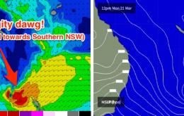
Today’s building southerly swell across Northern NSW will fade through Saturday but the early morning may produce some occasional 2-3ft sets at reliable, exposed south swell magnets between Byron Bay and Yamba.
Primary tabs
Nothing of any major importance for the rest of the week.
It’s always tricky sitting down to write the first forecast after coming back from some time away from the synoptic charts.
Slow downward trend of an E'ly trade-swell, with pulses of S'ly groundswell for south of the border. Light offshore breezes each morning.
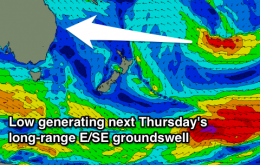
Good E'ly trade/groundswell tomorrow, easing back slowly through the weekend and further into next week ahead of one final long-range pulse. S'ly groundswell pulses also in the mix throughout the period. Good and clean each morning.
Building easterly trade-swell with light workable winds each morning. Pulses of southerly swell over the weekend.
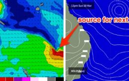
The models have strengthened this system considerably since Wednesday’s notes, so the forecasts correspondingly been upgraded.
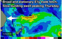
Our primary, near source of trade swell began to weaken yesterday so from here we’re looking at a slow easing trend into Thursday.
We’re now on the backside of the current trade swell event, but the good news is that there’s plenty of fun surf to come.
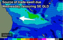
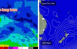
The synoptics show a strengthening E’ly dip SW of New Caledonia, embedded in the broader trade flow, and plenty of swell generating winds extending further east into the South Pacific

