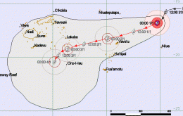
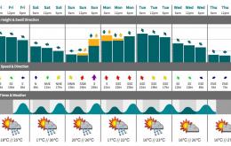
There’s also been some interesting developments with TC Ula.
Primary tabs
Truth be told: I don’t think we’re going to see quite as good surf from STC Ula as previous expected.
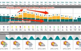
The current S/SE swell will ease through this afternoon, overnight and into Saturday. But as we’ve been anticipating all week we have a new E’ly swell due to arrive overnight that’ll provide great waves across the weekend.
We have a renewal of S/SE energy pushing up the coast today thanks to a small low that developed within the trough line extending the length of the Tasman Sea, on Tuesday.
A reinforcing pulse from the S/SE is expected later Wednesday and into Thursday, originating from a new low forming along the trough line in the SE Tasman Sea today.
The fetch across the central/northern Tasman Sea will rotate slightly anti-clockwise today, veering more E/NE, which will shut down the swell supply for Far Northern NSW and SE Qld but still maintain plenty of surf across the Mid North Coast into Saturday.
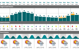
We’ve got some fun waves in store for the rest of the week.
Assuming the model guidance is generally on target - and there’s no reason to think otherwise - we should see a peak tomorrow in east swell.
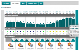
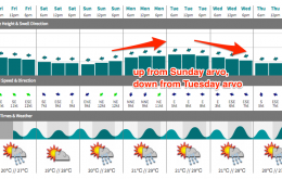
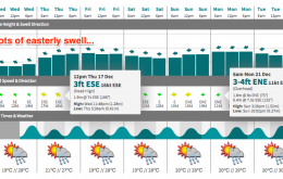
Sunday’s building E’ly swell is expected to peak on Monday, possibly even holding into Tuesday morning.
Major revisions are required for the impending easterly swell this week, which is a bummer.

