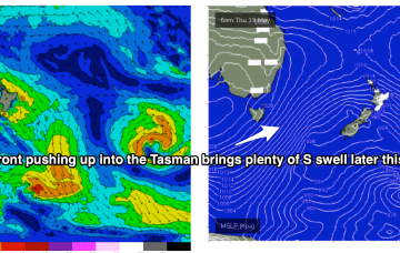
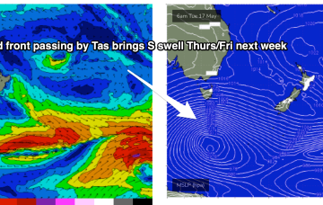
Sunday’s NW quadrant wind trend will be related to an advancing frontal progression across the south-eastern corner of the country, associated with an amplifying Long Wave Trough.
Primary tabs
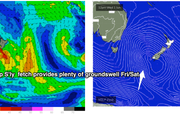
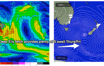
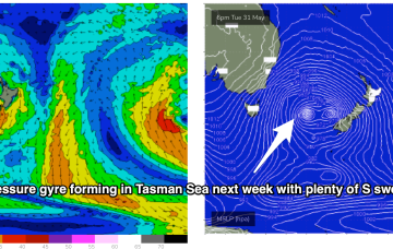
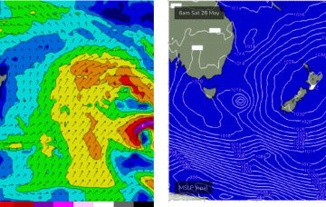
Brisk westerly winds and a complex low pressure gyre in the Tasman Sea, with multiple cold fronts and a deep S’ly fetch of gales extending down to 55S have ushered in the first day of Winter.
Another dynamic week ahead but a bit more straightforwards in the sense that all the incoming swell will be from the S - once the current E swell pulse peters out through tomorrow.
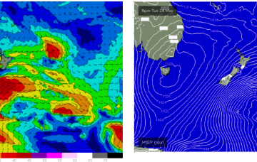
Right on cue, as head into the first week of winter, a nice cold outbreak and blast of W’ly winds with accompanying S’ly swells is headed our way.
Synoptic pattern still has a ground-hog day feel to it, with a large, slow moving high inching it’s way across the Tasman and a coastal trough lying parallel to almost the entire East Coast. Change is on the way though.
Flukey swells from the S and light winds this week, with more energy from the E/NE later in the week
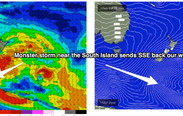
Sub-tropical troughs and the remnants of TC Gina near New Caledonia are maintaining a deep E’ly flow through the Coral Sea while the last in a series of powerful cold fronts are now sweeping up past the South Island of New Zealand with small S to SSE swell pulses to come over the next couple of days from this source.
The frontal progression responsible for the S swell pulses over the last couple of days is now on the New Zealand side of the Tasman, with a large high approaching Tasmania setting up a firm ridge along the coast.
A series of cold fronts with embedded troughs are now steaming into the Tasman Sea, anchored by a deep polar low which provided large swells for Victoria and New Zealand’s West Coast.
Stronger fronts push up into the Tasman from later Wed, bringing a SW flow and bigger S swell as we head to the end of the week.
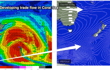
No great change to the weekend f/cast. The fetch of deep E to E/NE winds in the Coral and Northern Tasman Sea is contracting northwards around a surface low off the CQ/Fraser coast, and expected to fizzle out over the weekend.

