We've got a large swell with favourable morning winds to end off the week ahead of a poor outlook next week.
Primary tabs
XL surf for this afternoon and early tomorrow as conditions slowly improve, best later week in the South West.
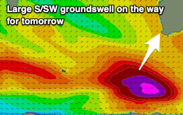
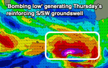
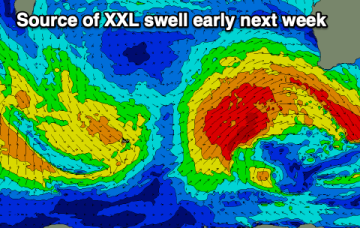
We've got a poor few days of surf with an XL swell for early next week, improving while easing into the rest of the week. A reinforcing large S/SW groundswell is also due late week.
Make the most of today before conditions deteriorate into the end of the week. Early next week will be big and stormy.
A new pulse of groundswell is due mid-week along with favourable winds. Early next week will become oversized and onshore.
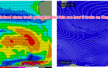
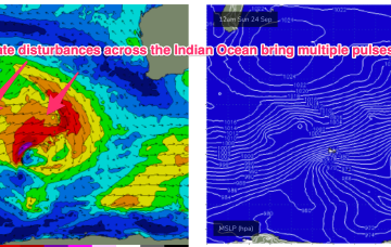
Into next week and a series of rolling disturbances across the Central Indian Ocean will provide multiple over-lapping swell trains with moderate sized swells in the 4-6ft range.
We’re on track for reduced storminess in the short/medium term with the very active late season Indian Ocean storm track starting to settle down a few notches (still active though) and some better quality windows of light or offshore winds on track for SWWA.
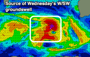
Keep an eye out for super long period W/SW swell from an African storm we mentioned last week. These swell periods will be in excess of 20 seconds, through Thurs into Fri. Not the main swell source but still supplying some long range energy into the mix.
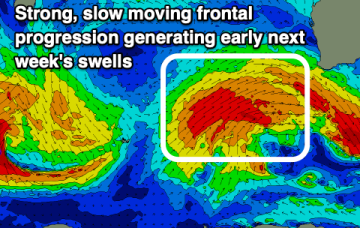
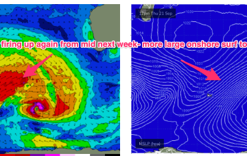
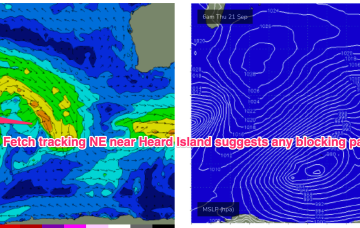
Mid week, the blocking pattern breaks down and we see another series of powerful disturbances track NE of Heard Island with multiple swell generating fetches becoming active again in the SE Indian Ocean from mid-late next week. With another series of gale to severe gale force fetches active we’ll see another period of over-lapping swell trains and elevated wave heights across the SW corner, likely with onshore winds again reflecting the northwards located high.
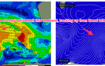
The current winter-calibre storm exits to the SE over the next 24 hrs with a high pressure to the north maintaining a ridge with the W’ly flow which continues across the SW of the state. An elevated high pressure belt over the state and high in Madagascan longitudes maintains a NE track of storms from Heard Island to WA longitudes.

