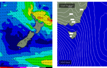
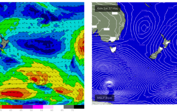
Models show a strong rebuild in wind-speeds through the fetch on Thurs with surf expected to peak in the 4-6ft range
Primary tabs
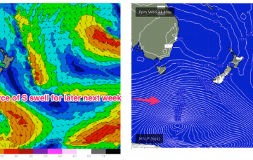
NE winds developing off the South Coast down to Bass Strait look like generating some useful NE windswell next week.
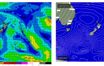
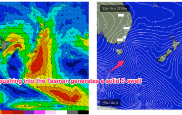
Another powerful front with gales to severe gales pushes NE into the Tasman Sat into Sun with a strong pulse of S swell making landfall across NETas at S facing beaches on Sun.
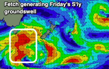
Friday looks the pick with some east potential for next week.
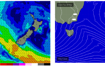
A monster low travelling under the continent is sending large swells to Victoria and is expected to send some minor S swell wrap up into the NE of Tas. The low and a high ridging in across the Australian interior maintain a brisk W’ly across the Island state.
As we come to the end of Autumn we’ve got a typical looking winter synoptic pattern unfolding with a dominant high drifting over NSW bringing settled conditions with a very active Southern Ocean storm track spawning a strong cold front which will impact the state on Thurs. Most of the swell generating winds are better placed for Victoria with only small S swell wrap for NETas.
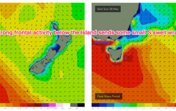
In the short run and small, long period S swell trains are on the menu for Tues, generated by continuing frontal activity in the lower Tasman mostly aimed at New Zealand targets.
We’re expecting some fun waves for the weekend, with our Tasman low stalling and deepening over the last 24-36hrs, slightly further away from NZ than modelled. That’s allowed E’ly quarter low end gales to develop in our swell window.
A tight pressure gradient between the low and a dual-centred high moving through the Bight is creating low end gales and strong winds on the SW flank of the low and generating S’ly swells up the Eastern seaboard, favouring NSW for most size. The low lingers in the Tasman this week sending some small E/NE swell to NETas before more S swell pulses next week.
The front interacts with the trough to form a surface low off the North Coast but consistent with Fridays notes the surface low is expected to rapidly move away towards New Zealand later Wed into Thurs, with a short spike in swell for NETas. More small S swell pulses are expected in the medium term.

