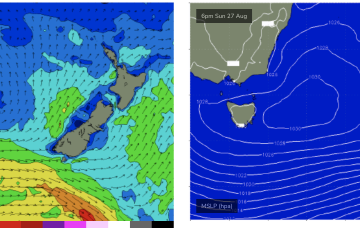
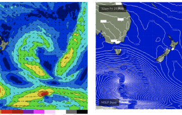
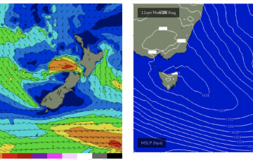
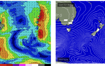
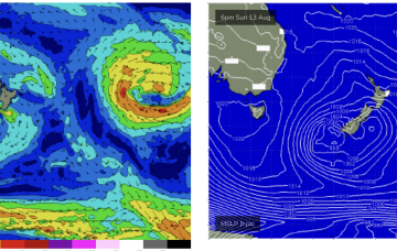
We’ve got a reasonably strong high (1032hPa) sitting in the Tasman, with NE winds aimed at Tasmania, slowly drifting NE and weakening as it does so over the next 36-48hrs with the last of a series of powerful storms tracking across the lower Tasman. In the absence of a high pressure ridge we’ll see N to NW’lies.
Primary tabs
We may see some more local E/NE swell to 2ft fill in as winds feed into a trough off the Gippsland coast which drifts down towards Flinders Island.
Storm force low pressure systems tracking under the continent are favouring Victoria for direct swell but we’ll see some long period swells refracting back into the East Tas coast this weekend from this source.
The Tasman Sea is looking very benign to start the week with a large area of weak high pressure over the Eastern Seaboard and extending into the Tasman directing a weak N’ly flow down the South Coast of NSW. A weak front and trough will bring a wind change tomorrow but with no significant swell. Next week looks a little more active.
No great change to the weekend outlook. Not much swell on offer unfortunately.
Make the most of the current small swell before it fades.
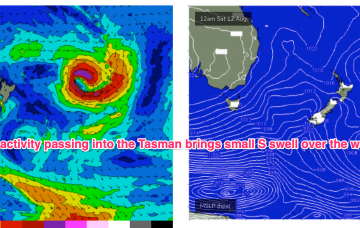
A frontal system forming in the Tasman Fri into the weekend now looks much more of standard system compared to Fri but will still produce a workable S swell Sat.
Those wind are associated with a low passing under the state and expected to stall in the Central/Eastern Tasman.
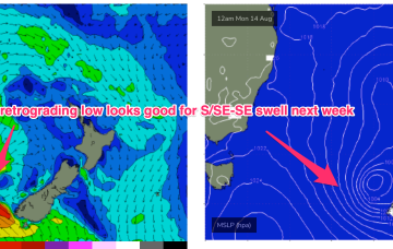
High pressure (1031hPa) is slowly but surely moving into the Tasman in a NE direction, developing a N’ly flow extending from temperate NSW down to Bass Strait through today and tomorrow. The N’ly flow will be punctuated tomorrow by a cold front which brings W -SW’ly winds to the region and a small amount of S swell. A stronger frontal system now looks likely to be a bit delayed but stall nicely in the Eastern Tasman early next week and supply some useful E/SE swell.
The remnants of a low/front near the South Island are lingering near the South Island through the short term with the next frontal system expected late this week. No major swell sources on the radar so lets look at a few bits and pieces on offer this week.


