/reports/forecaster-notes/southern-tasmania/2019/08/30/fading-swell-and-then-tiny
Craig
Friday, 30 August 2019
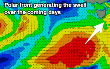
A slow period ahead with fading surf so make the most of the current swell.
/reports/forecaster-notes/southern-tasmania/2019/08/28/good-swell-over-coming-days
Craig
Wednesday, 28 August 2019
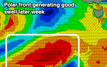
Favourable winds and a good mix of swells with plenty of options over the coming days.
/reports/forecaster-notes/southern-tasmania/2019/08/26/good-run-swell-through-week
Craig
Monday, 26 August 2019
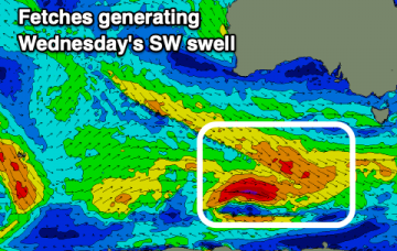
Plenty of swell and generally good winds this week with a few better pulses to chose from.
/reports/forecaster-notes/southern-tasmania/2019/08/23/smaller-swells-come-period
Craig
Friday, 23 August 2019
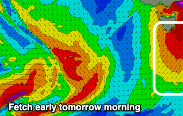
Smaller but surfable swells this period with more action possible from later next week.
/reports/forecaster-notes/southern-tasmania/2019/08/21/large-windy-surf-tomorrow-cleaner-friday
Craig
Wednesday, 21 August 2019
Onshore and solid waves tomorrow, cleaner as the swell eases on Friday and fun for the weekend.
/reports/forecaster-notes/southern-tasmania/2019/08/19/plenty-swell-and-wind-week
Craig
Monday, 19 August 2019
Cold, windy and sizey week of surf, cleanest Friday.
/reports/forecaster-notes/southern-tasmania/2019/08/16/tiny-weekend-new-swells-next-week-dicey-winds
Craig
Friday, 16 August 2019
Ideal beginners waves tomorrow, with a building mix of swells Monday with tricky winds, easing Tuesday. More swell to end off the week.
/reports/forecaster-notes/southern-tasmania/2019/08/14/average-end-week-more-swell-next
Craig
Wednesday, 14 August 2019
Nothing of significance to finish off the week or weekend, bigger and better next week.
/reports/forecaster-notes/southern-tasmania/2019/08/12/not-best-period-surf
Craig
Monday, 12 August 2019
Good mix of swells tomorrow but with average winds, cleaner as it fades and then small to tiny until next week.
/reports/forecaster-notes/southern-tasmania/2019/08/09/messy-sse-swell-weekend-smaller-ssw-swell-next
Craig
Friday, 9 August 2019
Onshore winds but workable conditions with S/SE swell on the weekend, followed by a smaller S/SW early next week.


