Those Tradewinds will be too far north for Tas at least in the short term but increasing NE winds off the NSW South Coast will see surf peak around 2-3ft+ through Thurs.
Primary tabs
A mix of flukey and not overly reliable swell sources, best from the north-east.
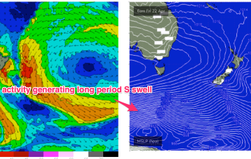
No great change to the weekend f/cast. A monster high (1037 hPa) is approaching from the West with strong frontal activity well below the state expected to generate some small S swell pulses.
Into the weekend and there’ll continue to be plenty of strong polar frontal activity in our swell window but it’ll be mostly too zonal to generate any major size. Models now show a slightly stronger fetch with a bit more surf potential for S facing beaches on Sunday.
A slower period but there should be a couple of small waves to surf through this week for the savvy.
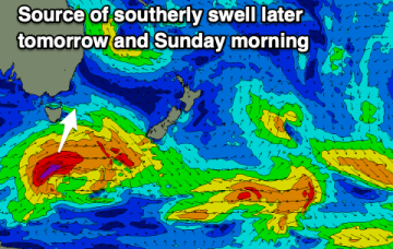
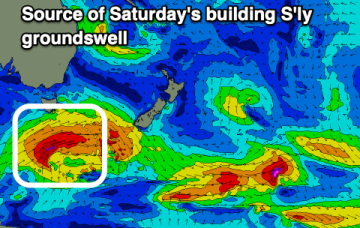
Light winds ahead of sea breezes tomorrow with a building S'ly groundswell, cleaner and easing Sunday.
Smaller levels of swell this period but with fun small waves for the right equipment.
A good mix of swells from the north-east and south with favourable winds.
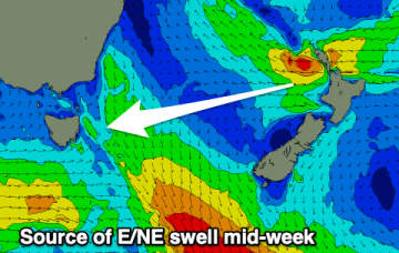
Longer period surf from the E/NE, generated by the long-lived E’ly fetch in the South Pacific, makes landfall on Mon.
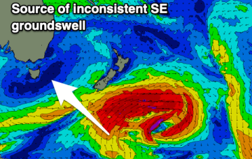
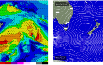
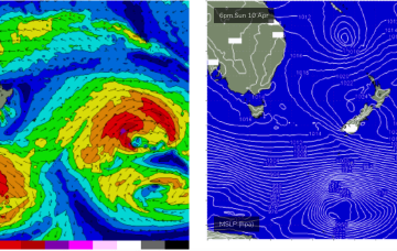
A strong low which passed through the Tasman is also sending a quantum of longer period S to S/SE swell which will see surf heights build from the S to SSE over the next 24-36 hrs.


