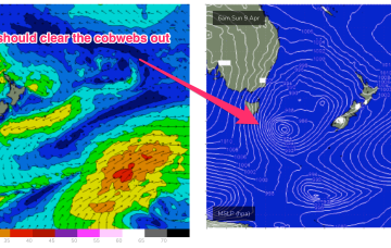
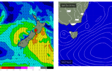
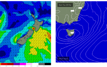
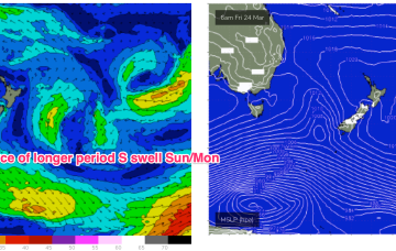
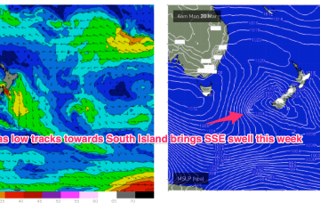
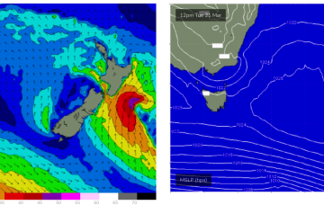
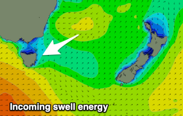
Easter Sunday should see a steady upwards trend in S swell, as a strong S swell cycle gathers steam, enough to blow out the cobwebs from our quiet start to Autumn.
Primary tabs
S swell then eases Good Friday and gets replaced by building NE windswell as the high develops a fetch of N/NE winds off the NSW Coast.
No great change to the weekend f/cast with a low east of the state moving away and a last cold front sweeping up past the state.
In the short run and the outlook is dynamic. The low sitting off the East coats maintains an E/NE-E infeed so E swell will hold in the 3ft range.
Weak, mobile high pressure in the Tasman gets reinforced by another rapidly weakening low well to the south of Tasmania tomorrow. A small trough of low pressure off the Gippsland coast moves south and aims a fetch of E’ly winds directly at East Coast Tasmania.
No great change to the weekend f/cast. A small trough of low pressure off the Gippsland coast brings S’ly winds Sat with small amounts of S swell wrap as a large frontal progression traverses waters below the state.
In the south a small trough of low pressure off the Gippsland coast is aiding a N-NE flow through temperate NSW with a S’ly change on the radar for tomorrow. The remnants of a low near the South Island are now dissipating after a final flare up yesterday.
A trough in advance of a strong high pressure cell and deeper Southern parent low is bringing a fresh S’ly flow to Eastern Tas today, with conditions rapidly shifting gears tomorrow as the large high drifts East of the state.
A high quickly slips E of Tas later Mon with NE winds developing and a potential NE windswell through Tues and Wed as winds feed into an inland trough.
A fun swell is on the way with it performing well across southern NSW.

