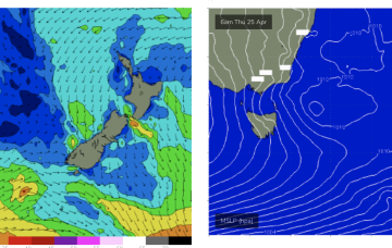
In fact, it becomes reinforced by a new high and this peanut high straddling Tasmania will set up a right of S’ly winds which will tend E’ly later in the week as high pressure moves to the E of the Island. Some polar low activity will supply some small S groundswell pulses this week.
Primary tabs
Into next week and light winds Mon and Tues as high pressure approaches the state. Not much swell on tap.
A storm force polar low is better aimed at Pacific targets but we’ll still see some long period S groundswell from it this weekend, with the proviso that S’ly winds will remain persistent.
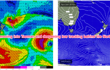
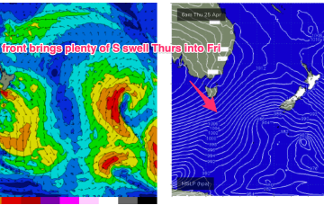
A strong frontal progression will bring S’ly groundswell during the week. Later fronts in the far southern/central Tasman remain strong and although better aimed at Pacific targets we’ll still see some significant sideband S’ly energy from them.
By Tues we’ll see a powerful front sweep past the state with a zonal fetch. We’ll see some small S swell wrap to 2-3ft at S facing beaches Tues.
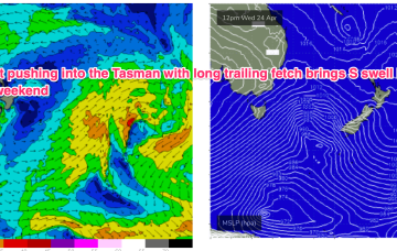
Windy S swells continue into Wed as another major high well south of the Bight shifts E and a series of fronts sweeps across the lower Tasman.
Stronger S swell on offer for Thurs as a trailing fetch slingshots into the Tasman on an already active sea state.
Further ahead and things look juicier later next week as a strong cold front sweeps in and conjoins with an area of low pressure exiting the Gippsland coast.
Into the weekend and we will see conditions improve as a high moves to the north of the island and fronts to the south bring about westerly ridging.
More S groundswell expected next week, with a renewal in S swell Tues from a deep low passing under Tas later Sun into Mon.


