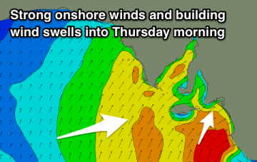
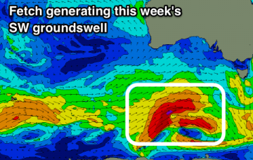
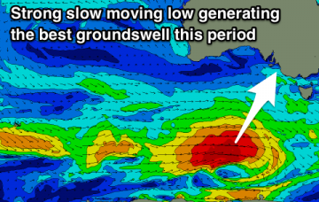
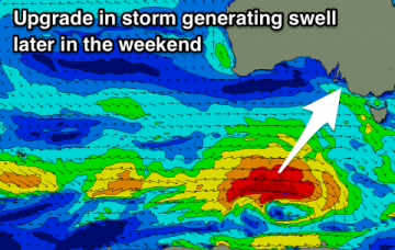
Lots of wind and poor quality swells this period with very limited windows for a decent surf.
Primary tabs
Average tomorrow with some new swell and improving winds from Sunday before things deteriorate again from Tuesday.
A good swell ruined by winds over the coming days, cleaning up through the weekend with smaller though fun sized surf. A new Goolwa/Cliffs surfcamera as well.
Winds start to take on a summer regime through this forecast period with less windows of clean conditions down South. Magnets look the go through the period.
Drop in swell tomorrow but fun on the swell magnets, with a strong new swell building Sunday though cleanest as it eases.
Plenty of swell to end off the week and with improving winds and conditions across both locations. Slower weekend with an upgrade in a new S/SW groundswell due late Sunday.
Plenty of swell with a strong new SW groundswell tomorrow followed by W/SW swell for the Mid Coast as winds slowly improve.
Plenty of swell and wind over the coming period but also periods of great and pumping waves.
Great surf down South to end the week ahead of large swells on the weekend and into next week.
Plenty of swell this period, biggest over the weekend with good periods of winds for both coasts.

