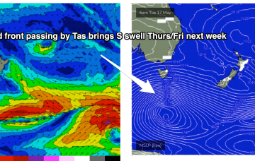
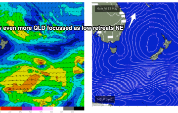
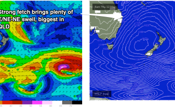
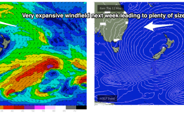
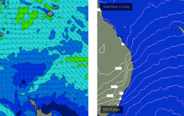
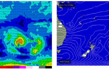
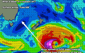
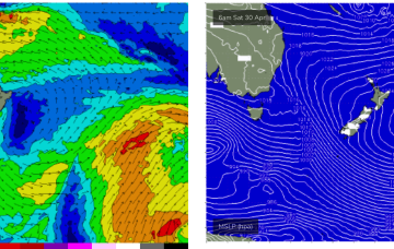
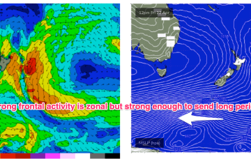
The fetch of deep E to E/NE winds in the Coral and Northern Tasman Sea is contracting northwards around a surface low off the CQ/Fraser coast, and expected to fizzle out over the weekend. At present gales are retrograding towards the QLD, generating large swells.
Primary tabs
A long interior trough and developing trough/low off the North QLD coast are tightening the pressure gradient along most of the ridge, bringing fresh onshore winds and a deep E’ly pattern to the majority of Tasman Sea and Central/Southern Coral Sea.
Further north an interior upper trough and potential coastal trough/surface low will combine to drive an intense E/NE to NE wind flow through the Coral and Northern Tasman Sea, generating a large stormsurf by Fri.
GFS has the more bullish outlook, with a trough or potential surface low forming off the Fraser Coast and tracking south through Fri13th- energising a long E to NE fetch through the Central Tasman to Coral Sea. In effect, it’s a slightly less energised version of the June 2016 Black Nor-Easter set-up.
We’ve got more of the same for the next few days. Next week though...
High pressure is sitting over the interior of Central NSW, leading to SE wind conditions, with a trade flow in the South Pacific supplying a steady drumbeat of fun, mid-sized E’ly swell.
The broad trade pattern supplying the weekend’s swell source will become enhanced over the coming days as a tropical low between New Caledonia and Fiji this weekend squeezes the synoptic flow.
A large 1029 hPa high pressure system is sitting smack bang in the middle of the Southern Tasman Sea in a deepening phase, with a series of tropical troughs in the Northern Coral Sea beginning to expand Tradewinds through the tropics.
Plenty of E swell ahead next week as Tradewinds and a sub-tropical low drifts south through the South Pacific slot.
The chief factor will be wind and there’ll be plenty of it from the SE, as a dominant high moving across Tasmania builds a very firm ridge along the sub-tropical and tropical coasts of NSW and QLD.

