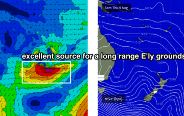
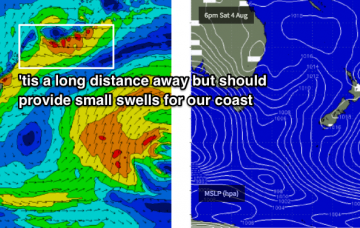
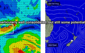
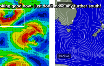
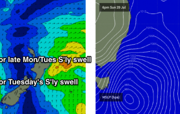
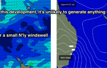
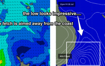
All of my attention is currently focused on the long range charts of the South Pacific.
Primary tabs
There ain't much happening this weekend in the surf department.
Also worth keeping an eye out for from Friday onwards: a small subtropical low developed north of New Zealand today, performing much better than Monday’s model guidance indicated.
Small south swells this week, with exciting possibilities out of the east for next week.
I’m all out of interesting adjectives. Let’s cut to the chase: SE Qld won’t see any worthwhile surf this weekend.
The current SE swell is easing across Southern NSW so we can expect a similar trend throughout Northern NSW on Thursday.
We’re staring down the barrel of an extended period of winter mediocrity in SE Qld. I can’t see there being anything worthwhile for the rest of this week as our primary swell windows have been inactive of late.
We’ve got a bog standard south swell ahead for the weekend. Expect a delay on the upwards phase of this swell in the Far North through Saturday.
Model guidance still has a strong front tracking through the lower Tasman Sea overnight Friday but recent runs have tweaked the alignment more towards a zonal pattern (west-east), which has downgraded our surf potential.
There’s still around three feet of leftover southerly swell across Southern NSW this afternoon, so we can look forward to a similar round of energy across Northern NSW on Tuesday morning.

