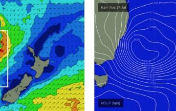
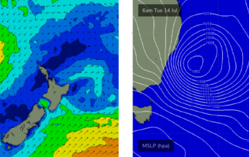
A complex troughy pattern will concurrently resume its dominance across the western Tasman Sea, and a strengthening E/NE thru NE fetch on the eastern side will generate new E/NE swells. More in the Forecaster Notes.
Primary tabs
The longer term charts look a little more exciting in my books. More in the Forecaster Notes.
Looks like a dynamic weekend of waves ahead. More in the Forecaster Notes.
We’ve got an excellent round of surf in store for the weekend - well, part of it at least. More in the Forecaster Notes.
Similar winds are expected on Saturday as what we’ve seen today, though they will ease back and we’re looking at a light variable flow across most regions on Sunday. More in the Forecaster Notes.
The surf will remain oversized across NSW the coming days, easing slowly through the weekend and winds will continue to favour protected breaks until Sunday.
A 'bombing low' will deliver an oversized and prolonged south-southeast swell event for the northern NSW coast, with no lack of size across south-east Queensland breaks exposed to the energy.
So, next week’s looking pretty dynamic, eh? I’ve been talking about this potential ECL since last Monday, and I gotta say - the models have been pretty impressive thus far. There’s very little change to the surf outlook for next week.
Although today’s expected size increase came in just at the bottom end of forecast expectations, I’m holding generally steady with the outlook for Thursday as I feel the longer period energy is yet to show properly, and will probably muscle up a little overnight ahead of a gradual easing through the day. More in the Forecaster Notes.
A ridge across the East Coast will maintain southerly quadrant winds for the next three days (two, south from Yamba). And there's plenty of more south swell ahead. More in the Forecaster Notes.

