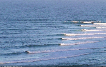
Chunky SE swell turning E and then a low mixing it all up for a dynamic week of waves.
Primary tabs
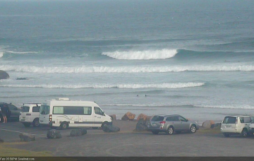
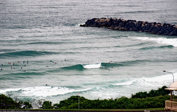
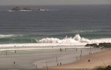
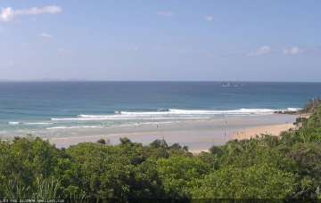
Plenty of swell, but winds will be mostly onshore and options limited to southern corners.
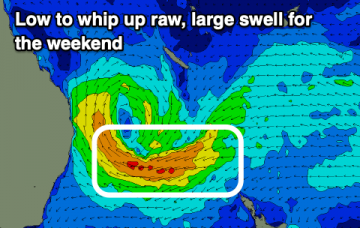
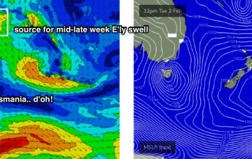
While all of this is going on, a weak tropical low near Fiji this weekend will have travelled south, before developing into an impressive multi-centred low pressure system off the West Coast of New Zealand’s North Island by Monday.
Some modeling suggests this low will merge with the aforementioned broad troughy feature across the western Tasman Sea, forming a large, multi-centered low pressure system across the greater Tasman through the middle of next week.
You know what? Take the next three days off. It ain’t really worth it. Especially given the incredible couple of weeks we’ve had. But.. there are waves ahead.
Incredibly, we’ve got more of the same for the weekend.
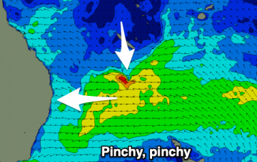
TC Lucas will remain slow moving south of New Caledonia for a few days. Current model guidance suggests a reintensification overnight Thursday into Friday morning (see below), aimed perfectly within our swell window.
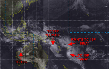
As discussed over the last week, we’ve got an active MJO phase across the region, and a strong high pressure ridge across New Zealand is cradling a conveyor belt of tropical lows, including one remnant and two existing tropical cyclones (TC Bina, TC Lucas, TC Ana - see recent chart from JTWC below).
We’ve got a warning out for a developing tropical cyclone north-east of Vanuatu, which will probably occur within the next 24 hours. This is contained with an active monsoon trough, which currently stretches from Indonesia, across Northern Australia into the western Pacific and then across to the South Pacific, somewhere south of the Cook Islands and about at SE Qld latitudes. More in the Forecaster Notes.
By and large, swell prospects for the next few days look much the same as the last few. However, conditions will change across the region, ultimately switching favouritism from the north to the south. More in the Forecaster Notes.

