It’s really just a case of watch and see what happens with this east swell.
Primary tabs
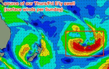
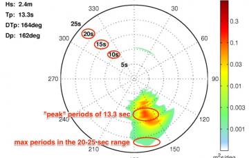
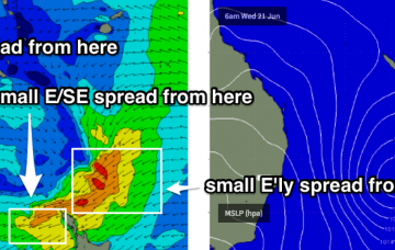
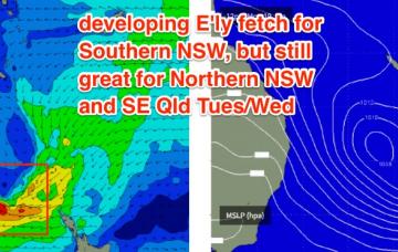
We have an unusual E'ly swell approaching for SE Qld later this week.
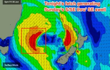
There’s essentially two swells on the way - one super direct south swell for Saturday, and a second swell with more S/SE swell for Sunday.
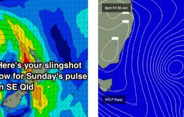
In Monday’s notes I mentioned a potential slingshot through the Tasman Sea that could deliver a slightly better pulse of swell for the outer SE Qld points this weekend. It’s still showing up in the models though has been slightly delayed.
On Wednesday, this south swell will fade but it’ll be replaced from mid-late morning onwards (mid afternoon across the Far North) by a new long period S’ly swell generated by a polar low traversing below the continent yesterday.
The primary source of our current SE swell began to abate yesterday so we’re looking at a steady easing trend through Saturday.
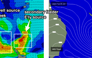
We’re now on the backside of the primary event, however the Tasman Low is still humming nicely and there’s plenty of energy to come - albeit from a few new sources, both of which are not aimed favourably into our region. But we will see plenty of waves throughout the forecast period.
This suggests the Gold/Tweed Coast buoys are outliers and we’ve got plenty more swell ahead for the entire region.
Model guidance has this Tasman Low remaining slow moving all week so we’re looking at a five-day run of surf size in the 4-6ft range across Northern NSW, from Monday onwards.
Freshening S’ly tending S/SW winds are expected all weekend as a trough along the East Coast strengthens.

