In 2015, Craig Brokensha penned an article When is an east coast low not an East Coast Low? Right now, we’ve got a classic, though rare example of the reverse.
Primary tabs
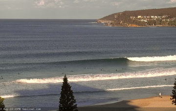
The currently S’ly swell will reach a peak overnight, holding into Saturday morning before trending slowly downwards through Saturday and Sunday.
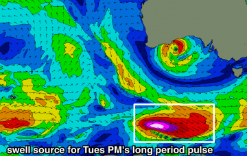
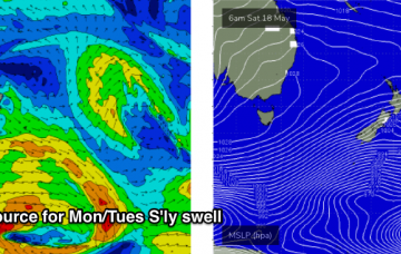
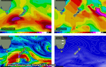
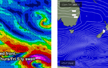
There’s a lot of activity in our south swell window. And it’s all associated with an amplifying the Long Wave Trough that’s bringing about an impressive cold snap to the region.
The projected southerly swells for this week have been up and down like a yo-yo throughout the model runs over the last few days. More in the Forecaster Notes.
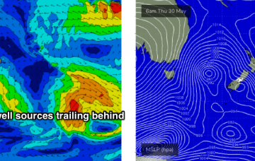
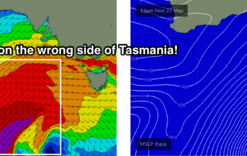
A very significant node of the Long Wave Trough is expected to amplify into the Bight early next week. Although the mature phase of this event will generally occur inside the Tasmanian swell shadow (relative to NSW’s swell window), we’ll see a powerful secondary phase push through the lower Tasman Sea mid-week, generating large southerly swells for us. More in the Forecaster Notes.
The Southern Ocean storm track is aimed well and truly away from our swell window, so we’re not expecting much, if any new energy for the rest of the week. Next week is very dynamic though. More in the Forecaster Notes.
A dominant ridge of high pressure over the Tasman Sea will maintain mainly light variable winds all week. As for surf, the swell charts look devoid of activity but that belies what’s been happening in our acute south swell window over the last few days. More in the Forecaster Notes.
The wind outlook for the next fourteen days says it all: light and variable. All the result of a blocking high in the Tasman Sea.
The rest of the week will continue to see favourably light winds and weak sea breezes under a weak synoptic pattern. As for surf, the current southerly regime will persist for some time. More in the Forecaster Notes.
First glance of the swell graphs suggests tiny surf and light winds all week. However, we’ve got some really nice waves on the way. More in the Forecaster Notes.


