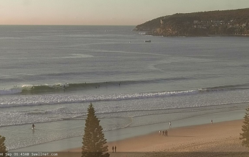
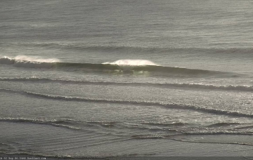
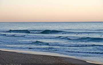
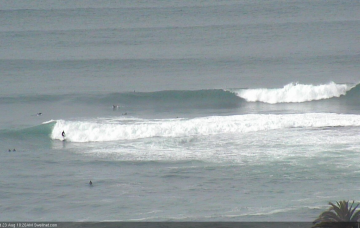
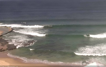
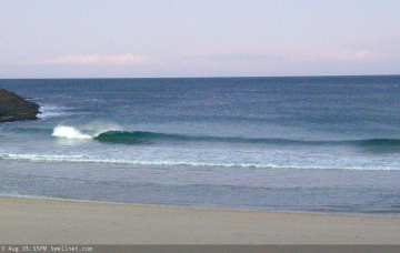
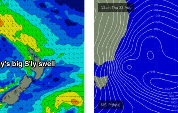
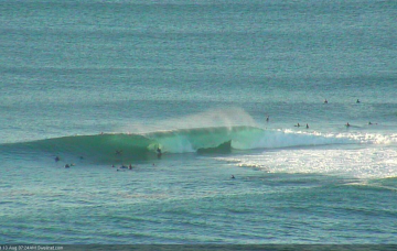
Thursday is looking pretty good, though you’ll have to make it early, as we’re expecting surf size to ease throughout the day. More in the Forecaster Notes.
Primary tabs
Once again, the models don’t like the look of this week’s surf prospects. More in the Forecaster Notes.
It’s just hard to be confident in how quickly conditions will improve as the wind eases, because there’s no way of knowing whether we’ll see a gradual abating trend in the airstream, or an abrupt cessation. More in the Forecaster Notes.
I really like the look of the weekend. More in the Forecaster Notes.
We’ve got a very complex week of waves ahead. More in the Forecaster Notes.
The weather system responsible for this large south swell has just exited our swell window, so the trend will be down from here on. More in the Forecaster Notes.
A vigorous frontal passage across the SE corner of the state will reach maximum strength early Thursday as a broad fetch of 50-60kt SW winds exit eastern Bass Strait. More in the Forecaster Notes.
We’re just starting to see the early signs of fresh southerly swell activity, and this will translate to a slow building trend through Tuesday and Wednesday ahead of step-ladder increases into Thursday and Friday. More in the Forecaster Notes.
There’s a lot of dynamic weather on the cards for next week. More in the Forecaster Notes.
Our recent southerly swell machine has only just vacated the swell window, so we’ll see persistent energy through today and tomorrow morning, before wave heights ease through Thursday afternoon and Friday. More in the Forecaster Notes.

