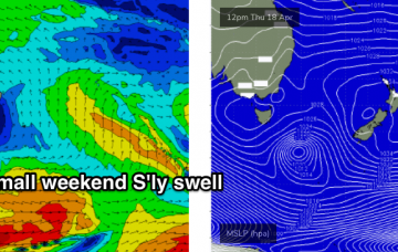
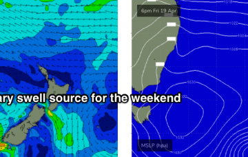
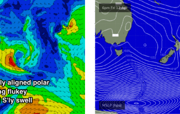
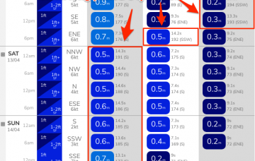
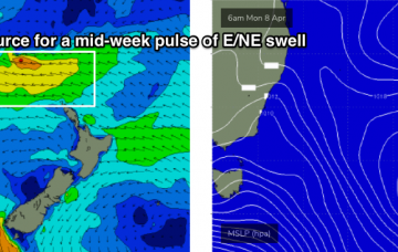
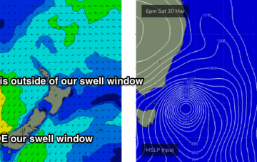
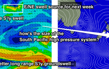
We've got a slow upwards trend out of the E/NE from our developing trade flow in the northern Tasman Sea. And maybe a small S'ly swell too. More in the Forecaster Notes.
Primary tabs
There’s really just one swell event worth considering this forecast period. More in the Forecaster Notes.
We’re looking at continuing small swells, generated by flukey systems on the peripheries of our swell windows, ahead of a long lived E/NE swell event. More in the Forecaster Notes.
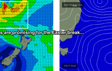
No major swell events are expected in the short term, however we should see small waves from the south. Easter's still looking pretty good too! More in the Forecaster Notes.
Looks like a broad trough spanning much of the western Tasman Sea over the weekend will evolve into a juicy swell generating system as a high pressure system develops to the east and south. More in the Forecaster Notes.
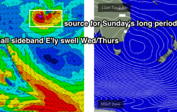
We’ve got a multitude of small swell sources for the weekend, mainly out of the east. More in the Forecaster Notes.
We’ve got more of the same for the next few days. More in the Forecaster Notes.
During the afternoon, the leading edge of a distant long period E/NE swell will make landfall, generated by an intense sub-tropical low developing well SE of Samoa at the moment (see chart below).
There’s been an upgrade in the strength of this evening’s developing NE tending N’ly fetch. And we've got a large south swell on the way too. More in the Forecaster Notes.
Today’s new south swell was the first in a series of southerly swell events (two of 'em!) that are expected to provide surf for the Southern NSW coast. More in the Forecaster Notes.

