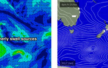
We’ve still got a stack of strong southerly swell on the short term outlook. More in the Forecaster Notes.
Primary tabs
A quick glance at the latest model guidance suggests a slowly building swell today, then easing slowly Thursday before bottoming out on Friday. As per Monday’s notes, I still don’t think this is an accurate reflection of what’s going to happen in the surf zone. More in the Forecaster Notes.
A conveyor belt of fronts crossing the SE corner of the country will generate a series of overlapping southerly swells over the coming week, holding into the weekend. More in the Forecaster Notes.
As I’ve been mentioning all week, an amplifying node of the Long Wave Trough will push into South-eastern Australia from Sunday evening onwards, slingshotting a number of cold fronts into Tasmania, South Australia and Victoria. More in the Forecaster Notes.
The low/front responsible for our current south swell has already exited the swell window, so we’re looking at a further easing of size into Thursday. More in the Forecaster Notes.
A vigorous cold front will push up the Southern NSW coast on Tuesday, reaching Wollongong late afternoon and Sydney after sunset. More in the Forecaster Notes.
The storm track is all out of whack for our swell window right now. It's all pretty forgettable stuff, to be honest. More in the Forecaster Notes.
Small persistent S’ly swell will continue for the next few days, and we've got a fun NE swell on the cards too. More in the Forecaster Notes.
At first glance, it looks like a pretty dismal week of waves ahead. But, there are small windows of opportunity and it’ll be worth keeping a flexible schedule. More in the Forecaster Notes.
Today’s S’ly swell is on the way out, so the weekend’s surf potential will need to originate from fresh sources. More in the Forecaster Notes.

