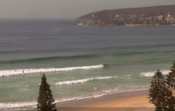
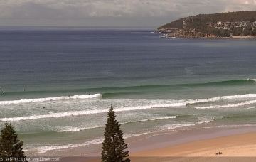
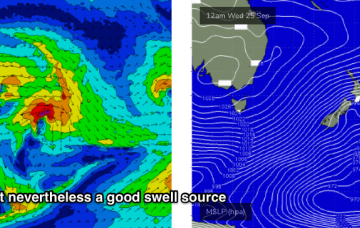
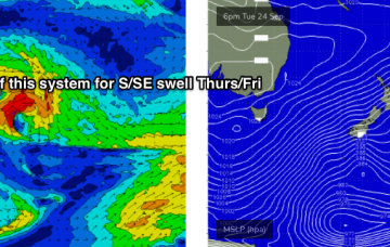
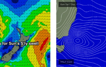
A series of sustained and broad though only modest fronts through the lower Tasman Sea on Sunday will set up our next round of southerly swell for early next week. More in the Forecaster Notes.
Primary tabs
The frontal progression through the south-eastern Tasman Sea is progressing nicely, reaching maximum intensity this morning. More in the Forecaster Notes.
We’ve got a new S'ly tending S/SE swell regime setting up for the week, thanks to a sustained pattern of cold fronts pushing from the Southern Ocean into the lower south-eastern Tasman Sea. More in the Forecaster Notes.
We’ve got a weekend of two halves. And then a series of fronts will generate slowly growing sideband S/SE swell later next week. More in the Forecaster Notes.
Thursday morning will see a brief respite in onshore winds as the current trough (with embedded lows) weakens, and a high pressure system in the Tasman Sea becomes the dominant influence on our surf for the next few days. More in the Forecaster Notes.
We’ve got an enormously diverse range of swell sources for the coming week and a half. More in the Forecaster Notes.
Next week just got a whole lot more complex. More in the Forecaster Notes.
There’s been a downgrade for the weekend. And to be honest, I reckon it’s a good thing. Next week looks really spicy too. More in the Forecaster Notes.
There’s stacks of swell in store for this week, and the weekend. More in the Forecaster Notes.
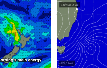
A deepening low pressure system east of Bass Strait tonight has slowed a little since Wednesday’s model runs, and we’re now looking at the strongest fetch developing late Saturday afternoon, which means a building trend for Sunday.

