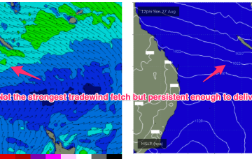
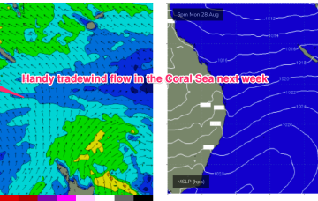
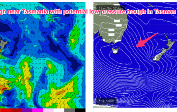
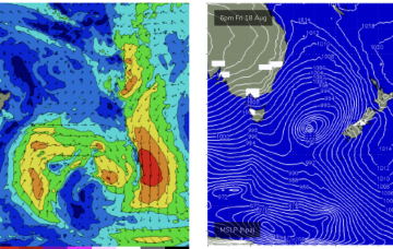
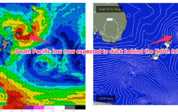
We’ve still got the basic building blocks in place that we mentioned on Wed with the proviso that everything looks a little weaker and disjointed. High pressure moves NE of Tasmania and the troughs remain inland, although we may see a weaker trough area move off the North Coast of NSW early in the week. SE-E/SE tradewinds are established in the Central Coral Sea and will supply small tradewind swell for the first half of the week at least.
Primary tabs
A cold front and long trough are bringing a S’ly change to the NSW coast, extending into the sub-tropics later today and overnight. There’s not a great deal of useful swell generating winds associated with the change so only modest short range S swells are expected to accompany it. The lingering troughy pattern gets much more dynamic over the weekend (and next week) as a powerful high approaches from the Bight.
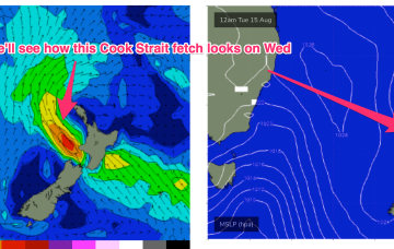
The remnants of the weekends frontal systems have set up a fading off axis fetch near New Zealand with the current run of small S swells also on the way out. A weak mid week front will bring a wind change and a small flush of S swell but next week looks a bit more robust although with plenty of wind.
Sunday looks better, for size at least. The head of the fetch reaches almost to New Caledonia and this typically aids S swell penetration into SEQLD.
Easing swells are expected for the rest of the week, and northerlies will give it a kick in the pants on Thursday afternoon.
We’ve got a weak, troughy pattern unfolding now adjacent to the NSW Coast in the near Tasman Sea that will provide plenty of wind changes this week. A low pressure system near the South Island reached maximum strength last night and is now slowly easing, but still looking good on ASCAT (satellite windspeed) passes with S’ly strong winds to gales aimed up the Tasman pipe. That will be our main source of swell this week.
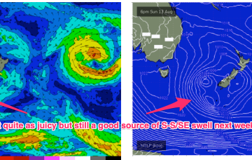
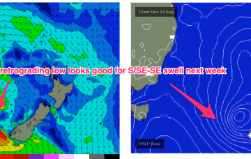
As mentioned on Wed the weekend’s front forms a low which looks to stall in the central/eastern Tasman Sun/Mon, and possibly linger near the South Island after that. The fetch now, isn’t quite so well aimed back at the East Coast but we’re still on track for a nice pulse of S-S/SE swell.
A stronger frontal system now looks likely to be a bit delayed but stall nicely in the Eastern Tasman early next week and supply some useful S/SE swell.
A persistent tradewind fetch is in the process of resetting with a less favourable wind alignment and easing swells. No major swell sources on the radar so lets look at a few bits and pieces on offer this week.
Current ASCAT (satellite windspeed) passes show a very healthy fetch of SE-E/SE tradewinds extending through the Central/Southern Coral Seas with plenty of fun E’ly tradewind swell expected over the weekend.

