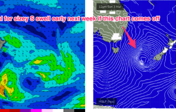
Some quiet days then follow before a much more robust front and low enter the lower Tasman late in the weekend driving some sizey S swell up the coast.
Primary tabs
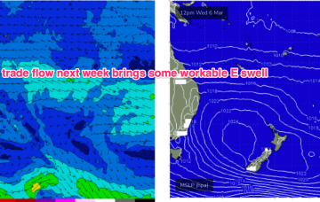
The high cell is weak so we’re looking at a fairly uninspiring end to Summer, with some mid week NE windswell for Southern NSW and small background E swells for the sub-tropics. After that quiet spell extends into the start of Autumn a stronger frontal intrusion into the Tasman looks likely next week with some robust S swell accompanying it.
High pressure in the Bight with a trough moving up the coast and robust low (974hPa) moving under Tasmania sets the scene for the weekend.To the East the tradewind belt is contracting and weakening after a month of action.
Make the most of Thursday, as we’ve got northerlies on the menu for Friday.
Our recent source of trade swell is expected to muscle up a little over the coming days.
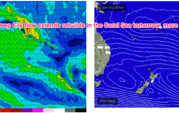
High pressure belt remains strong with cells lined up to enter the Tasman. A monsoonal low in the Gulf of Carpenteria is generating a long cloud band down the east coast. A long, broad E’ly tradewind fetch extends from the Coral Sea into the South Pacific with the tail of the fetch in Tahitian longitudes.
Multiple cells of reinforcing high pressure then one by one move into the Tasman, maintaining a weak ridge up the NSW Coast and a deep E’ly flow through the South Pacific and Eastern Coral Sea, with resulting E’ly swells favouring the sub-tropics for size, with a rebuild in size expected later this week.
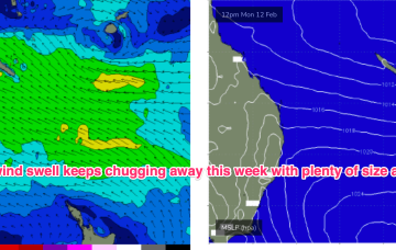
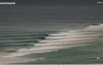
E’ly tradewind swell and plenty of it this week, with quality an issue in the short run.
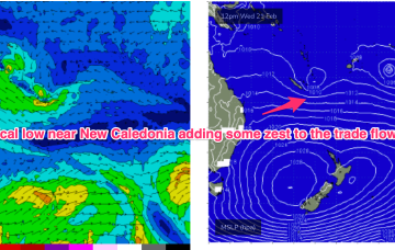
The E’ly-SE’ly fetch gets reinforced later Sat by a new high pressure ridge squeezing up against a tropical low hovering NW of New Caledonia so we should see surf start to build again through Sun, again, tidally affected by the big new moon tidal amplitudes.
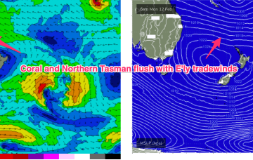
The surf outlook for SE Qld and Northern NSW is relatively straightforward, all thanks to an anchored ridge across the Northern Tasman Sea.

