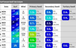
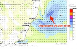
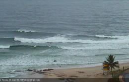
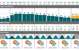
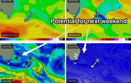
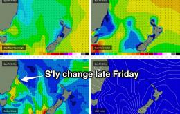
The models have upgraded this system a little since Friday’s notes were prepared, but there’s a lot of complexity surrounding its influence for Northern NSW and (especially) SE Qld.
Primary tabs
Sunday’s surf prospects in Northern NSW mirror that of SE Qld, but probably with a little more size potential.
On Easter Friday, the weakening trades across our swell window will also occur across the coast, which is great news as it means a much improved overall outlook for SE Qld surf conditions under light variable tending onshore winds.
Finally, we’ve got some good waves ahead for SE Qld.
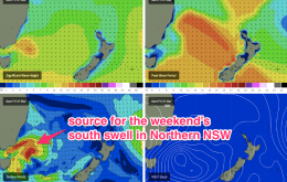
It’s not a great weekend of waves ahead - especially SE Qld - but there will be surfable options if you’ve got access to a south facing beach between Byron Bay and Seal Rocks.
This small, inconsistent E’ly swell from TC Rueben will dominate the next few days.
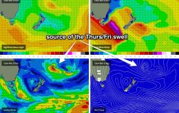
Overnight on Wednesday, the leading edge of a small easterly swell is expected to push through, generated by TC Reuben yesterday and today, way out south-east of Fiji.
We’re looking at small waves through the entire weekend, with variable conditions across the region.
We’re finally drawing to a close some six days of thoroughly decent easterly swell.
I also think that we’re probably close to the peak of the upwards phase of this swell event across SE Qld and Northern NSW.

