The outlook for the next few days is relatively straightforward. More in the Forecaster Notes.
Primary tabs
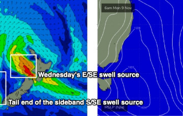
A decaying southerly flow through the eastern Tasman Sea will supply small, sideband S/SE swell over the next few days. More in the Forecaster Notes.
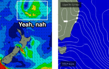
The synoptic pattern described in Wednesday's notes for Tasman Sea next week is still expected to eventuate, but with one small tweak that will have a significant bearing on our surf potential. More in the Forecaster Notes.
We’ve got an upgrade from the south for the next few days. More in the Forecaster Notes.
We’ve got some great waves in store this week. More in the Forecaster Notes.
Saturday looks really tricky. A complex low pressure trough approaching from the west will move off the coast in the early hours of the morning, and we’ll see a couple of wind shifts throughout the day. More in the Forecaster Notes.
Local conditions look tricky, thanks to the presence of a broad trough adjacent much of the east coast, which is expected to spin off a small weak low due east of Sydney on Thursday morning. More in the Forecaster Notes.
Large swells will persist for the next few days. In fact, the synoptics described in Friday’s model runs still hold true for the short term. More in the Forecaster Notes.
We’ve got an extended run of sizeable SE swell for our region. More in the Forecaster Notes.
The synoptics are dominated by a complex pattern of low pressure troughs from the Tasman Sea all the way across the eastern states and out into South Australia. This is expected to produce a dynamic period of weather for NSW, though not a lot of swell. Next week though... get ready! More in the Forecaster Notes.

