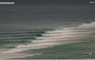
E’ly tradewind swell and plenty of it this week, with quality an issue in the short run.
Primary tabs
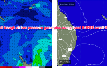
The E’ly-SE’ly fetch gets reinforced later Sat by a new high pressure ridge squeezing up against a tropical low hovering NW of New Caledonia so we should see surf start to build again through Sun, again, tidally affected by the big new moon tidal amplitudes.
The surf outlook for SE Qld and Northern NSW is relatively straightforward, all thanks to an anchored ridge across the Northern Tasman Sea.
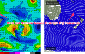
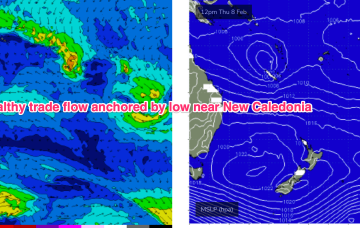
A semi-stationary area of low pressure in the Coral Sea is anchoring a broad trade-wind flow with an extended tradeswell event ahead.
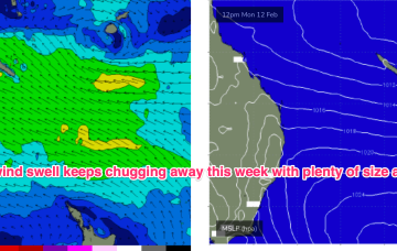
Common to all major models is a robust tradewind flow through the Coral and Northern Tasman which will favour the sub-tropics for size into the weekend 10-11/2 and hold plenty of pulsey E’ly tradewind swell through most of next week from Tues.
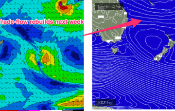
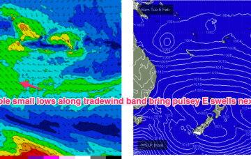
The monsoon remains active with a small sub-tropical low moving E off the QLD coast where it may undergo further development In the Coral Sea in the medium term. A typical summer tradewind band cradles this low next week with plenty of E quadrant swell expected, favouring the sub-tropics for size.
Strong S swell expected this weekend (mostly Sun) as a front with gales to strong gales tied to a complex parent low drifts slowly through the far Southern Tasman.
Further ahead and the tropics remains active with a long monsoon trough extending from the Coral Sea out into the South Pacific Convergence Zone. Strongest winds are the monsoonal surge nor-westers along the top of the trough but there are signs more favourable E’ly winds will develop along the bottom of the trough later next week, favouring sub-tropical regions for small E swell either later next weekend to into the week 5/2
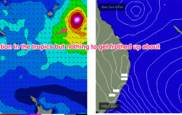
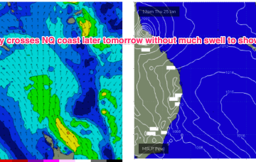
After an extended period of eyes on the tropics there’s not too much to get excited about as the current E swell event winds down. We’re still waiting for TC Kirrily to form (already called by the Joint Typhoon Warning Centre) and when it does it’s expected to take a straight SW-W/SW track into the NQ coast, crossing around Townsville tomorrow evening. No swell of any significance is expected from this system south of the border- with only marginal N/NE swells showing at a few spots in QLD (mostly north of K’gari (Fraser Is))
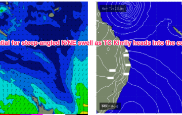
All the headline action is in the tropics with a cyclone (TC Kirrily) expected to form within the next 24-36hrs in the monsoon trough NE of Cairns. A coastal crossing in N.QLD now looks the most likely outcome with limited surf potential for our region, at least in the short/medium term.

